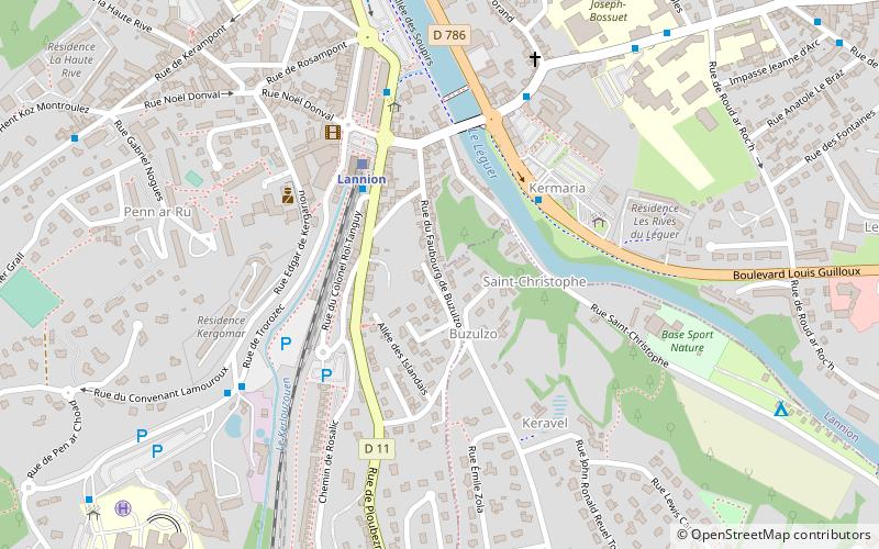
Borne de corvée, Lannion
Map

Map

Facts and practical information
A corvée marker is a road marker used to delimit the portion of road left to the maintenance of a parish under the Ancien Régime.
Portal of the road
Coordinates: 48°43'34"N, 3°27'32"W
Address
Lannion
ContactAdd
Social media
Add
Day trips
Borne de corvée – popular in the area (distance from the attraction)
Nearby attractions include: Ti Dour, Trégor, Église Saint-Jean-du-Baly, L'Imagerie.
Frequently Asked Questions (FAQ)
Which popular attractions are close to Borne de corvée?
Nearby attractions include L'Imagerie, Lannion (10 min walk), Église Saint-Jean-du-Baly, Lannion (12 min walk), Trégor, Lannion (13 min walk).


