Saint-Léger Church

Gallery (1)
Map
Map
Facts and practical information
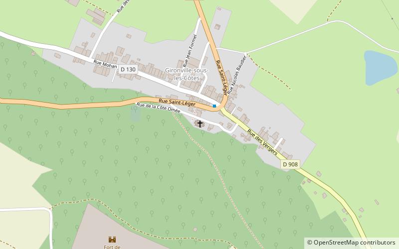
The Saint-Léger church is a Catholic church located in Geville, France.
Coordinates: 48°47'34"N, 5°40'27"E
Location
Grand Est
ContactAdd
Social media
Add
Day trips
The Saint-Léger church is a Catholic church located in Geville, France.
Grand Est
Where to next? Visit ![]() Grand Est region page or discover the top tourist attractions in France.
Grand Est region page or discover the top tourist attractions in France.


