Levallois-Perret, Paris
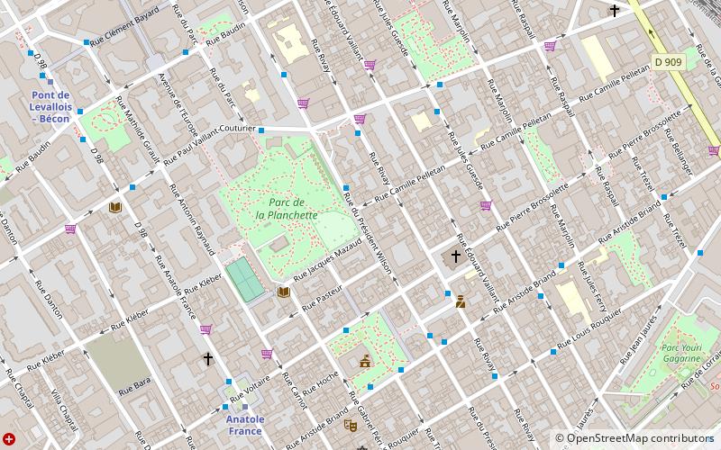
Map
Gallery
Facts and practical information
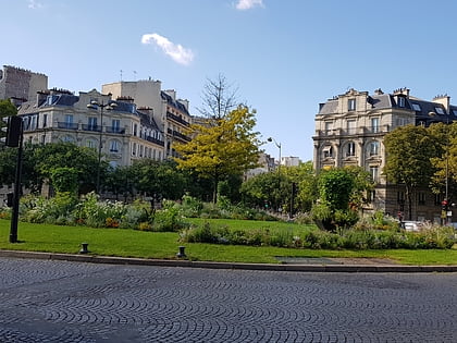
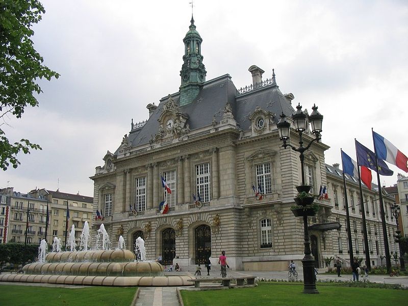
Levallois-Perret is a commune in the Hauts-de-Seine department and Île-de-France region of north-central France. It lies some 6 km from the centre of Paris in the north-western suburbs of the French capital. It is the most densely populated town in Europe and, together with neighbouring Neuilly-sur-Seine, one of the most expensive suburbs of Paris. ()
Address
Levallois-Perret (Hôtel de Ville - Planchette)Paris
ContactAdd
Social media
Add
Day trips
Levallois-Perret – popular in the area (distance from the attraction)
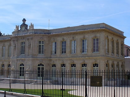
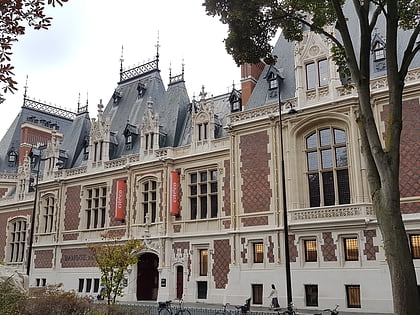
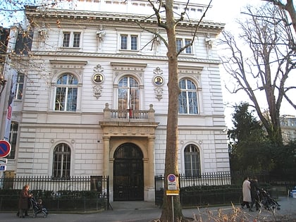
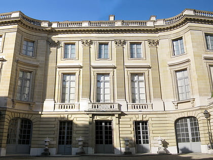
Nearby attractions include: Château d'Asnières, Cité de l'économie et de la monnaie, Musée Cernuschi, Musée Nissim de Camondo.
Frequently Asked Questions (FAQ)
Which popular attractions are close to Levallois-Perret?
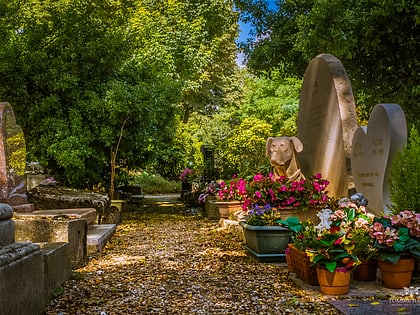
Nearby attractions include Levallois-Perret Cemetery, Paris (11 min walk), Place de Wagram, Paris (24 min walk), Île de la Jatte, Paris (24 min walk).
How to get to Levallois-Perret by public transport?
The nearest stations to Levallois-Perret:
Bus
Metro
Train
Tram
Bus
- Vaillant-Couturier • Lines: 165, 94, N16, N52 (3 min walk)
- Aristide Briand • Lines: 174, 274, 94 (4 min walk)
Metro
- Anatole France • Lines: 3 (6 min walk)
- Pont de Levallois – Bécon • Lines: 3 (10 min walk)
Train
- Clichy-Levallois (13 min walk)
- Asnières-sur-Seine (20 min walk)
Tram
- Porte d'Asnières-Marguerite Long • Lines: T3b (21 min walk)
 Metro
Metro