Place des Ternes, Paris

Facts and practical information
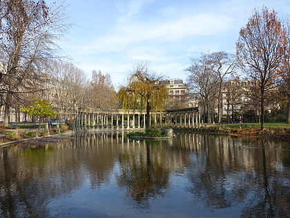
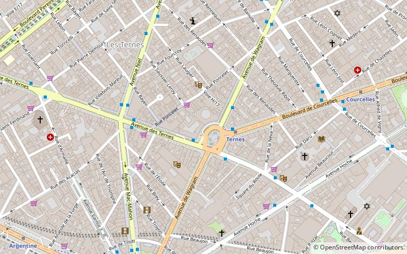
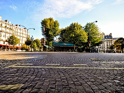
Place des Ternes is a square in the 8th and 17th arrondissements of Paris, at the junction of Avenue de Wagram, Boulevard de Courcelles, Rue du Faubourg-Saint-Honoré and Avenue des Ternes. It has borne its present name since 1893. In the middle of the square is the Paris Métro Line 2 station Ternes. It is located in the centre of one of the most vibrant communities of the city. Place de Ternes is surrounded by various markets, parks, landmarks and local shops such as the Marché du Poncelet and Parc Monceau. ()
Batignolles-Monceau (Ternes)Paris
Place des Ternes – popular in the area (distance from the attraction)
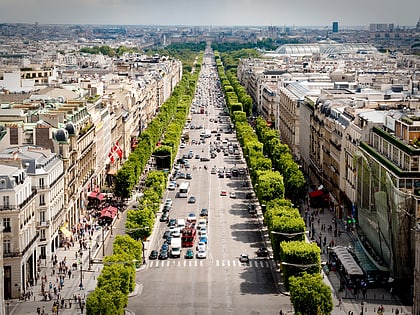
Nearby attractions include: Champs-Élysées, Arc de Triomphe, Boulevard Haussmann, Place Charles de Gaulle.
Frequently Asked Questions (FAQ)
Which popular attractions are close to Place des Ternes?
How to get to Place des Ternes by public transport?
Bus
- Ternes • Lines: 30, 31, 341, 43 (1 min walk)
- Ternes - MacMahon • Lines: 341, 43, 92 (4 min walk)
Metro
- Ternes • Lines: 2 (2 min walk)
- Charles de Gaulle — Étoile • Lines: 1, 2, 6 (8 min walk)
Train
- Charles de Gaulle-Étoile (9 min walk)
- Charles de Gaulle — Étoile (9 min walk)
Tram
- Porte d'Asnières-Marguerite Long • Lines: T3b (21 min walk)
- Porte de Clichy • Lines: T3b (35 min walk)
Ferry
- Port des Champs-Elysées • Lines: Batobus (33 min walk)
 Metro
Metro