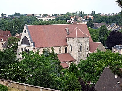
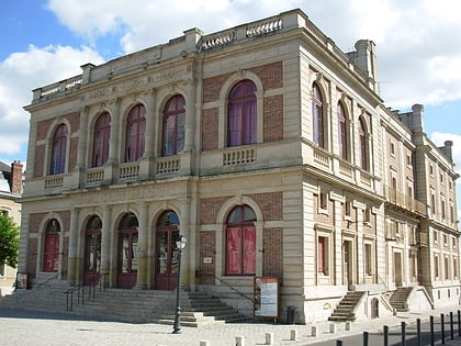
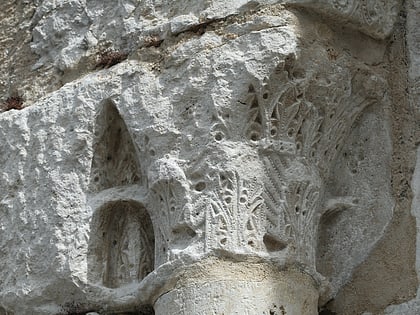
Vestiges de la porte Guillaume, Chartres
Map
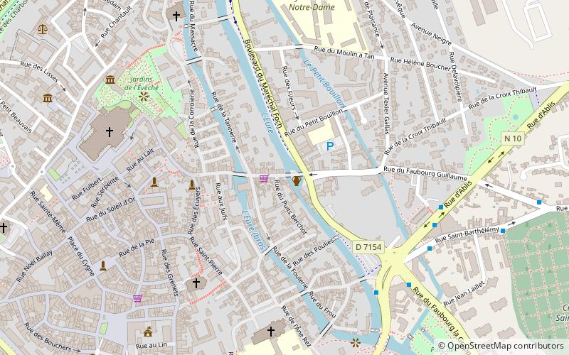
Map

Facts and practical information
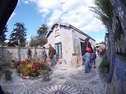
The Guillaume Gate is a former city wall located in Chartres, in the Eure-et-Loir department, in France. It was destroyed by the retreating German army during the night of August 15-16, 1944.
Coordinates: 48°26'49"N, 1°29'35"E
Address
Chartres
ContactAdd
Social media
Add
Day trips
Vestiges de la porte Guillaume – popular in the area (distance from the attraction)
Nearby attractions include: Chartres Cathedral, Stained glass windows of Chartres Cathedral, Centre international du vitrail, Saint-Aignan Church.
Frequently Asked Questions (FAQ)
Which popular attractions are close to Vestiges de la porte Guillaume?
Nearby attractions include St. Peter's Church, Chartres (5 min walk), Maison du Saumon, Chartres (5 min walk), Saint-Aignan Church, Chartres (6 min walk), St. Peter's Church, Chartres (6 min walk).
How to get to Vestiges de la porte Guillaume by public transport?
The nearest stations to Vestiges de la porte Guillaume:
Bus
Train
Bus
- Morard • Lines: 11, 12, 14, 15, 5, 6, 8, 9 (6 min walk)
- Ablis • Lines: 12, 15, 5, 9 (6 min walk)
Train
- Chartres (15 min walk)


