Lac de l'Aiguillette
#1325 among destinations in France

Facts and practical information
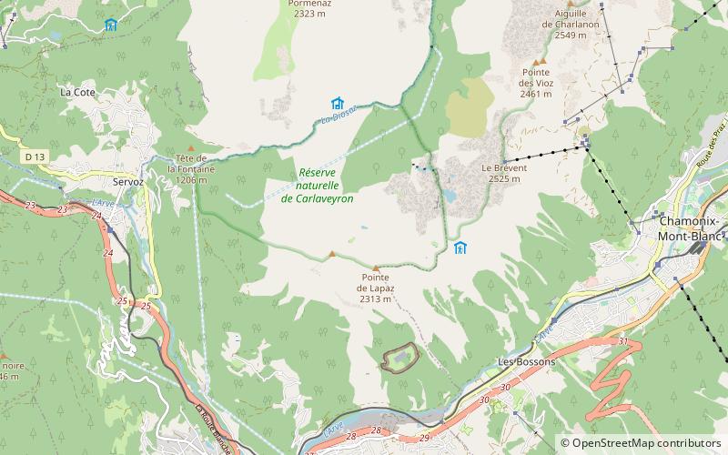
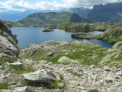
Lac de l'Aiguillette is a lake in Haute-Savoie, France. ()
Auvergne-Rhône-AlpesFrance
Lac de l'Aiguillette – popular in the area (distance from the attraction)
Nearby attractions include: Centre Sportif Richard Bozon, Lac Vert, Lac de Pormenaz, Musée alpin.
 Outdoor activities, Sport venue, Sport
Centre Sportif Richard Bozon, Chamonix
77 min walk • Pôle sportif et culturel Chamonix Nord is an ensemble of educational and sports facilities located in the northern part of Chamonix, Haute-Savoie, France. The project was the brainchild of Chamonix's mayor, former minister and mountaineer Maurice Herzog, and architect Roger Taillibert, with engineering support from Heinz Isler.
 Natural attraction, Body of water, Park
Lac Vert, Passy
83 min walk • Lac Vert is a lake in the municipality of Passy, Haute-Savoie, France.
 Natural attraction, Lake
Lac de Pormenaz, Passy National Nature Reserve
70 min walk • Lac de Pormenaz is an alpine lake in the Passy National Nature Preserve of the Haute-Savoie department of France. Its surface area of 4.4 ha is at an elevation of 1945 m. The lake can be reached by foot from the village of Plaine Joux above Servoz.

 Peak with a cable car and Mt Blanc views
Le Brévent
46 min walk • Le Brévent is a mountain of Haute-Savoie, France. It lies in the Aiguilles Rouges range of the French Prealps and has an altitude of 2525 metres above sea level. This cliff is a popular spot for wingsuit flying down into the valley.
 Nature, Natural attraction, Lake
Lac du Brévent
22 min walk • Lac du Brévent is a lake in the municipality of Chamonix, Haute-Savoie, France. It is located below the Le Brévent peak, at an elevation of approx. 2125 m.
 Hiking, Alpine hut
Refuge du Plan de L'Aiguille, Chamonix
94 min walk • The Refuge du Plan de l'Aiguille is a refuge in the Mont Blanc massif in the French Alps.
 Golf, Outdoor activities
Golf de Chamonix, Chamonix
101 min walk • The Golf de Chamonix is an eighteen holes golf course with a length of 6,076 meters. It is located in Les Praz de Chamonix-Mont-Blanc in the department of Haute-Savoie in France. The golf course is open from May to mid-November, depending on the...
 Nature, Natural attraction, Lake
Lac Cornu, Chamonix
74 min walk • Lac Cornu is a lake in the Aiguilles Rouges massif of Haute-Savoie, France. It is located at an elevation of 2276 m with a surface area of 5.4 ha. Petit Lac Cornu is located 500 m North West, at an elevation of 2243 m. Its surface area is 4700 m².
 45°55'28"N • 6°52'2"E
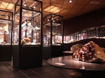
Musée des Cristaux - Espace Tairraz, Chamonix
69 min walk • Specialty museum, Museum
 Aerial tramway
Refuge du Plan de l'Aiguille
86 min walk • The Refuge du Plan de l'Aiguille is a refuge in the Mont Blanc massif in the French Alps.