Pic du Gar

Gallery (1)
Map
Map
Facts and practical information
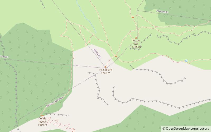
Pic du Gar is a mountain of the Pyrenees. It is located near Saint-Béat, Haute-Garonne département, in the Comminges natural region. The limestone mountain has an altitude of 1,785 metres above sea level. ()
Location
Occitanie
ContactAdd
Social media
Add
Day trips


