Pic Palas
Map
![Pic Palas location map](https://tzmedia.b-cdn.net/media/images/static-maps/fr/42_8494_-0_31331.jpg)
Map
![Pic Palas location map](https://tzmedia.b-cdn.net/media/images/static-maps/fr/42_8494_-0_31331.jpg)
Facts and practical information
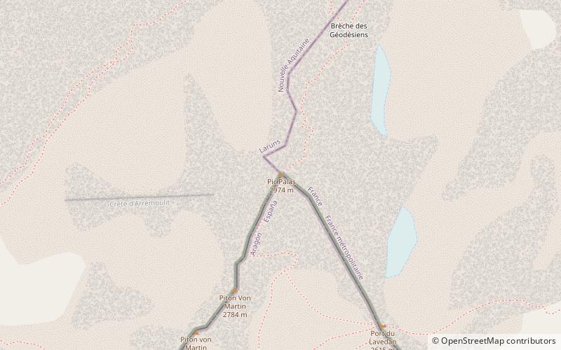
Pic Palas - a peak in the Pyrenees. It lies on the border between Spain and France. It belongs to the Central-West Pyreneje subgroup in central pyrenees.
The first entry was made by Peytier and Hossard in June 1825.
Location
Occitanie
ContactAdd
Social media
Add
Day trips
Pic Palas – popular in the area (distance from the attraction)
Nearby attractions include: Lac d'Artouste, Lacs d'Arrémoulit, Lac d'Arrious, Lac de Batbielh.