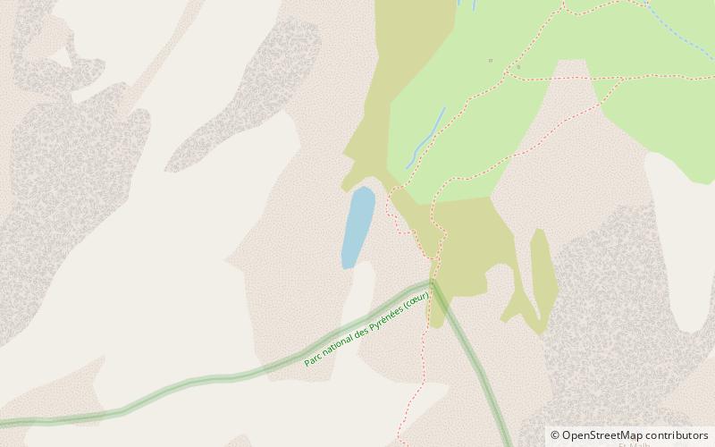
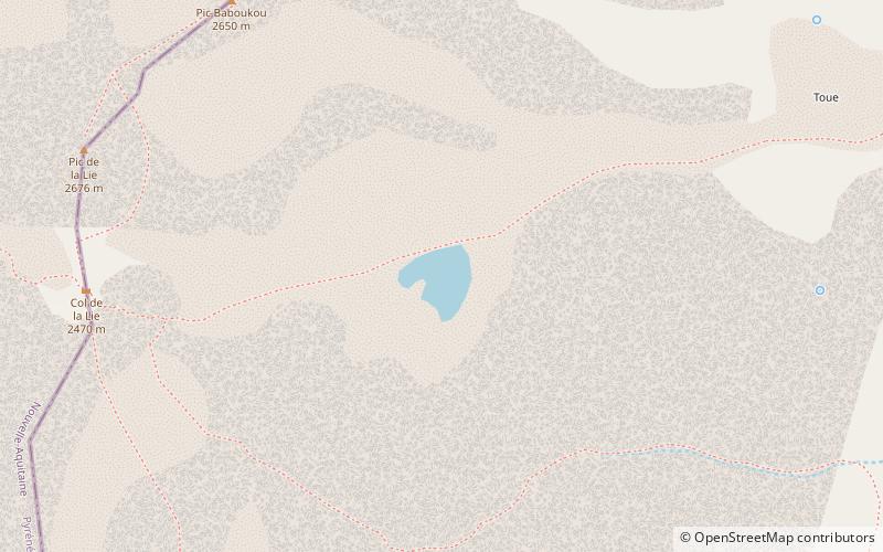
Lac de Batbielh, Pyrénées National Park

Gallery (1)
Map
Map
Facts and practical information
Lac de Batbielh is a very small lake in Hautes-Pyrénées, France, located approximately 2 km north of the French–Spanish border within the Pyrénées National Park. At an elevation of 2229 m, its surface area is 0.01 km2. ()
Alternative names: Area: 2.47 acres (0.0039 mi²)Elevation: 7369 ft a.s.l.Coordinates: 42°51'51"N, 0°18'10"W
Address
Pyrénées National Park
ContactAdd
Social media
Add
Day trips