Remparts romains, Grenoble


Facts and practical information
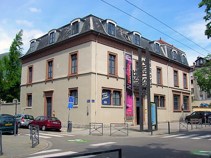
Remparts romains is a place located in Grenoble (Auvergne-Rhône-Alpes region) and belongs to the category of city wall.
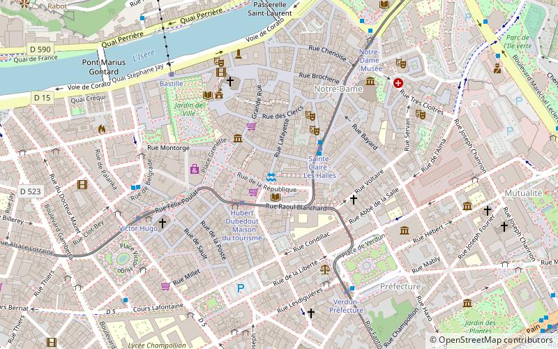
It is situated at an altitude of 719 feet, and its geographical coordinates are 45°11'27"N latitude and 5°43'46"E longitude.
Planning a visit to this place, one can easily and conveniently get there by public transportation. Remparts romains is a short distance from the following public transport stations: Hubert Dubedout - Maison du tourisme (tram, 2 min walk), Verdun-Préfecture (bus, 5 min walk), Bastille (aerialway, 15 min walk), Grenoble (train, 20 min walk).
Among other places and attractions worth visiting in the area are: Maison natale de Stendhal (museum, 2 min walk), Fontaine des trois Ordres (fountain, 4 min walk), Collegiate Church of Saint-André (church, 4 min walk).
Grand Quartier 2 (Saint-André)Grenoble
Remparts romains – popular in the area (distance from the attraction)
Nearby attractions include: Musée de Grenoble, Musée de la Résistance et de la Déportation à Grenoble, Bastille, Musée dauphinois.
Frequently Asked Questions (FAQ)
Which popular attractions are close to Remparts romains?
How to get to Remparts romains by public transport?
Tram
- Hubert Dubedout - Maison du tourisme • Lines: A, B (2 min walk)
- Sainte-Claire - Les Halles • Lines: B (2 min walk)
Bus
- Verdun-Préfecture • Lines: 12, 13, 14, 15, 16, T80, T87 (5 min walk)
- Victor Hugo • Lines: 40, 6060, 6080, 6200, C1, Exp2, T87, X01 (7 min walk)
Aerialway
- Bastille • Lines: Téléphérique de la Bastille (15 min walk)
Train
- Grenoble (20 min walk)


