Base Nautique de l'Île-Grande, Île-Grande
Map

Map

Facts and practical information
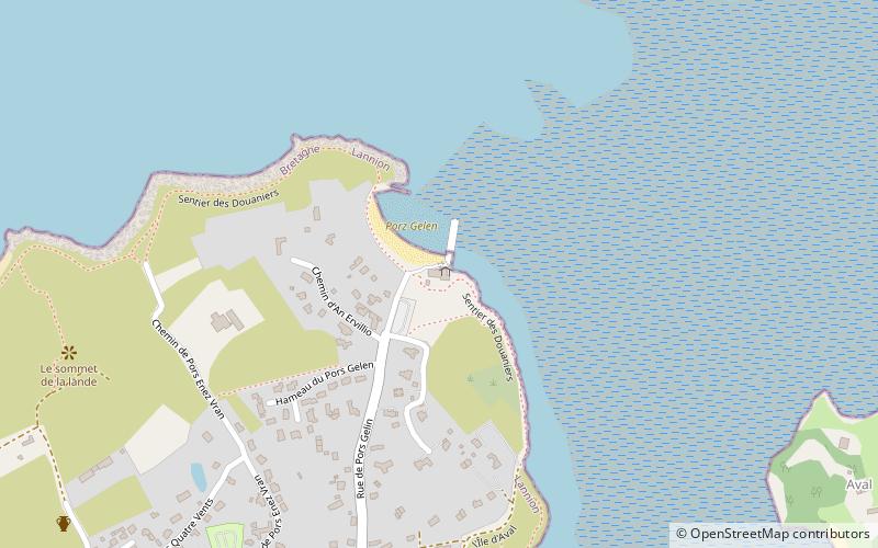
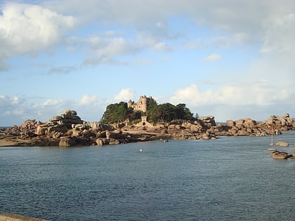
Base Nautique de l'Île-Grande (address: Rue de Pors Gelin) is a place located in Île-Grande (Brittany region) and belongs to the category of sightseeing.
It is situated at an altitude of 16 feet, and its geographical coordinates are 48°48'23"N latitude and 3°33'53"W longitude.
Among other places and attractions worth visiting in the area are: Allée couverte de l'Île Grande (ruins, 11 min walk), Chapelle de Penvern (church, 35 min walk), Menhir de Saint-Uzec, Pleumeur-Bodou (geologic formation, 39 min walk).
Coordinates: 48°48'23"N, 3°33'53"W
Day trips
Base Nautique de l'Île-Grande – popular in the area (distance from the attraction)
Nearby attractions include: Ploumanac'h lighthouse, Ti Dour, Cité des Telecoms, Trégor.


