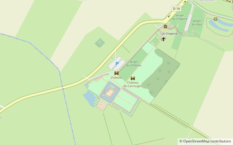
Châtelet, Carrouges
Map

Map

Facts and practical information
The Château de Carrouges is a château, dating partly from the 14th century, located in the commune of Carrouges, in the Orne department, Normandy, northern France. It is unusual in its combination of an austere fortress with a comfortable residence. The original fortifications at Carrouges were besieged and destroyed by English forces during the Hundred Years War. After the war, the château was rebuilt by Jean Blosset, grand seneschal of Normandy, in the 15th century. ()
Local name: Château de Carrouges Completed: XVIII centuryArchitectural style: RenaissanceCoordinates: 48°33'40"N, 0°9'14"W
Address
Carrouges
ContactAdd
Social media
Add
Day trips
Châtelet – popular in the area (distance from the attraction)
Nearby attractions include: Château de Carrouges, Normandie-Maine Regional Natural Park, War Memorial.
Frequently Asked Questions (FAQ)
Which popular attractions are close to Châtelet?
Nearby attractions include Château de Carrouges, Carrouges (2 min walk), War Memorial, Carrouges (15 min walk).


