Brasserie de Saint-Omer, Saint-Omer
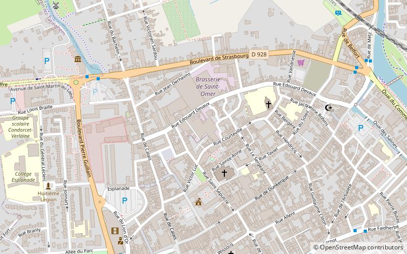
Map
Facts and practical information
Brasserie de Saint-Omer is a French brewery in Saint-Omer, in the Pas-de-Calais department, situated in the Nord-Pas-de-Calais region. It is one of the two big breweries left in the Nord-Pas-de-Calais. ()
Address
Saint-Omer
ContactAdd
Social media
Add
Day trips


Frequently Asked Questions (FAQ)
Which popular attractions are close to Brasserie de Saint-Omer?
Nearby attractions include Chapelle des Jésuites Wallons, Saint-Omer (11 min walk), Saint-Omer Cathedral, Saint-Omer (12 min walk), Rue Saint-Bertin, Saint-Omer (13 min walk), Mairie de Saint-Martin-lez-Tatinghem, Saint-Martin-au-Laërt (17 min walk).