Pont du Marché, Strasbourg
Map

Map

Facts and practical information
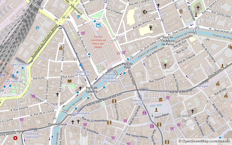
The Pont du Marché is a bridge in Strasbourg crossing the Canal du Faux-Rempart. It connects the island Ellipse and the Halles district.
Coordinates: 48°35'7"N, 7°44'34"E
Day trips
Pont du Marché – popular in the area (distance from the attraction)
Nearby attractions include: Strasbourg Cathedral, Palais Rohan, St Thomas' Church, Barrage Vauban.
Frequently Asked Questions (FAQ)
Which popular attractions are close to Pont du Marché?
Nearby attractions include Place de l'Homme de Fer, Strasbourg (3 min walk), Église Catholique Saint-Jean-Baptiste, Strasbourg (4 min walk), Aubette Building, Strasbourg (5 min walk), Saint-Pierre-le-Jeune Protestant Church, Strasbourg (5 min walk).
How to get to Pont du Marché by public transport?
The nearest stations to Pont du Marché:
Tram
Bus
Train
Tram
- Ancienne Synagogue - Les Halles • Lines: D, Tram A (1 min walk)
- Faubourg de Saverne • Lines: Tram C (3 min walk)
Bus
- Les Halles Pont de Paris • Lines: L3, L6 (2 min walk)
- Les Halles Sébastopol • Lines: 240, 71, 73 (2 min walk)
Train
- Strasbourg (11 min walk)


