Rue de la Pannevert, Rouen

Facts and practical information
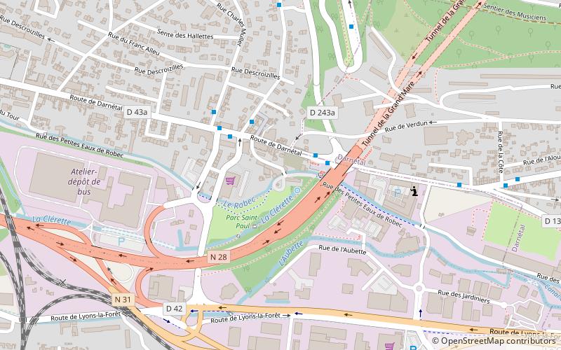
Rue de la Pannevert (address: 1 rue de la Pannevert) is a place located in Rouen (Normandy region) and belongs to the category of watermill.
It is situated at an altitude of 62 feet, and its geographical coordinates are 49°26'22"N latitude and 1°7'47"E longitude.
Planning a visit to this place, one can easily and conveniently get there by public transportation. Rue de la Pannevert is a short distance from the following public transport stations: Deux Rivières (bus, 3 min walk), Boulingrin (tram, 32 min walk).
Among other places and attractions worth visiting in the area are: Rouen Monumental Cemetery (cemetery, 24 min walk), Square Marcel Halbout (park, 26 min walk), Darnétal (area, 27 min walk).
1 rue de la PannevertQuartiers Est (Grieu - Vallon Suisse)Rouen
- Bus
- Tram
 Bus
Bus
- Calculate routeDeux Rivières 3 min walk
- Calculate routeClos d'Argent 6 min walk
- Calculate routeÉcole d'Architecture 7 min walk
- Calculate routeLes Broches 9 min walk
- Calculate routeBoulingrin 32 min walk


Frequently Asked Questions (FAQ)
How to get to Rue de la Pannevert by public transport?
Bus
- Deux Rivières • Lines: T2, T3 (3 min walk)
- Clos d'Argent • Lines: T2 (6 min walk)
Tram
- Boulingrin • Lines: M (32 min walk)