Château
Map
Gallery
Facts and practical information
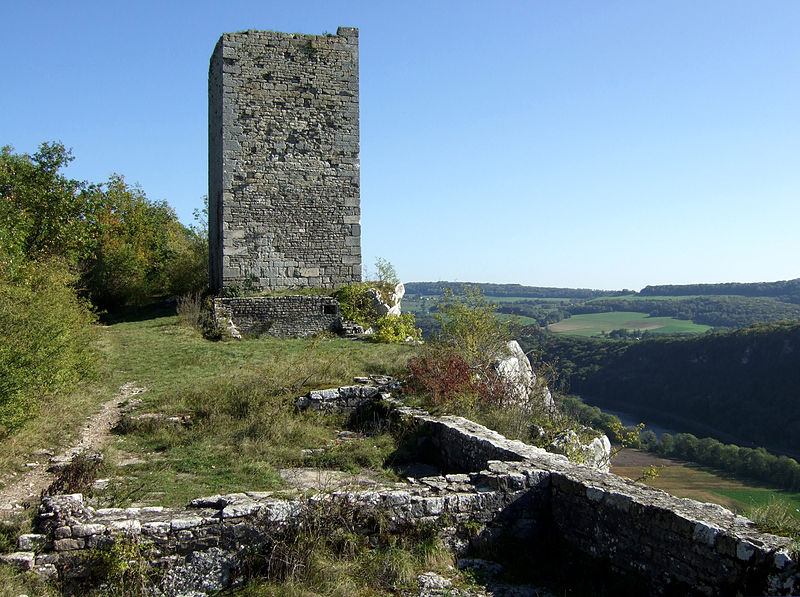
The fortifications of Montferrand-le-Château, are located in Montferrand-le-Château, in the French department of Doubs.
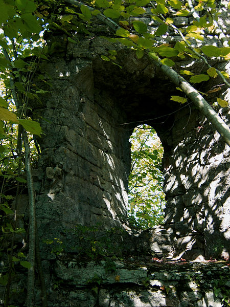
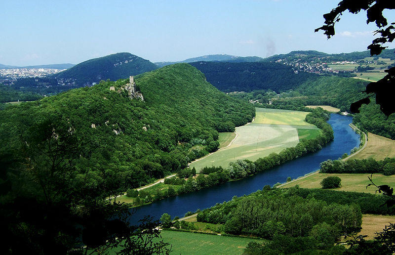
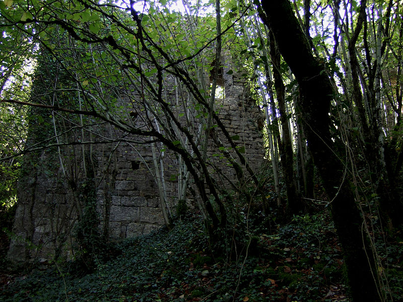
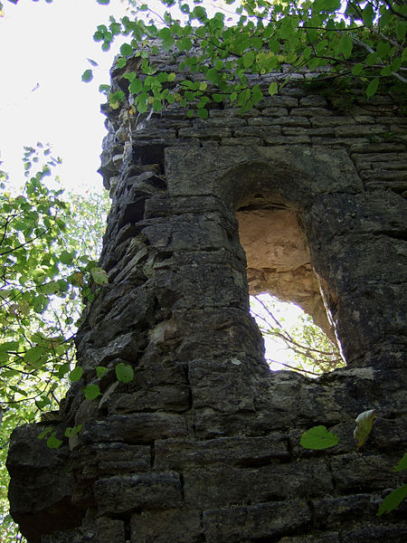
They are perched at an altitude of 354 m above sea level, i.e. 120 m above the river Doubs which winds below. There are still many remains in the forest.
The remains of the castle have been registered as historical monuments since June 8, 1926, and the site on which the castle is located has been a classified site covering a little less than one hectare since February 5, 1934.
Coordinates: 47°10'29"N, 5°55'37"E
Location
Bourgogne-Franche-Comté
ContactAdd
Social media
Add
Day trips
Château – popular in the area (distance from the attraction)
Nearby attractions include: Fort de Planoise, Francis of Assisi Church, Basilica of Saint-Ferjeux, Fort of Rosemont.


