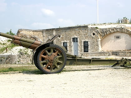
Nécropole nationale de Sillery, Sillery
Map
Gallery
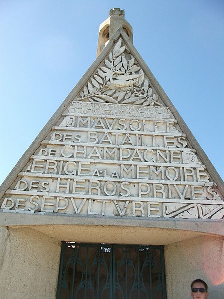
Facts and practical information
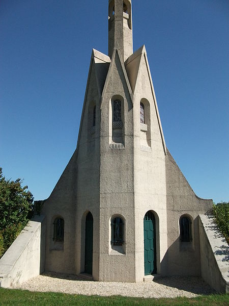
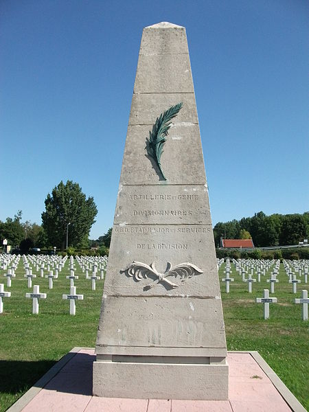
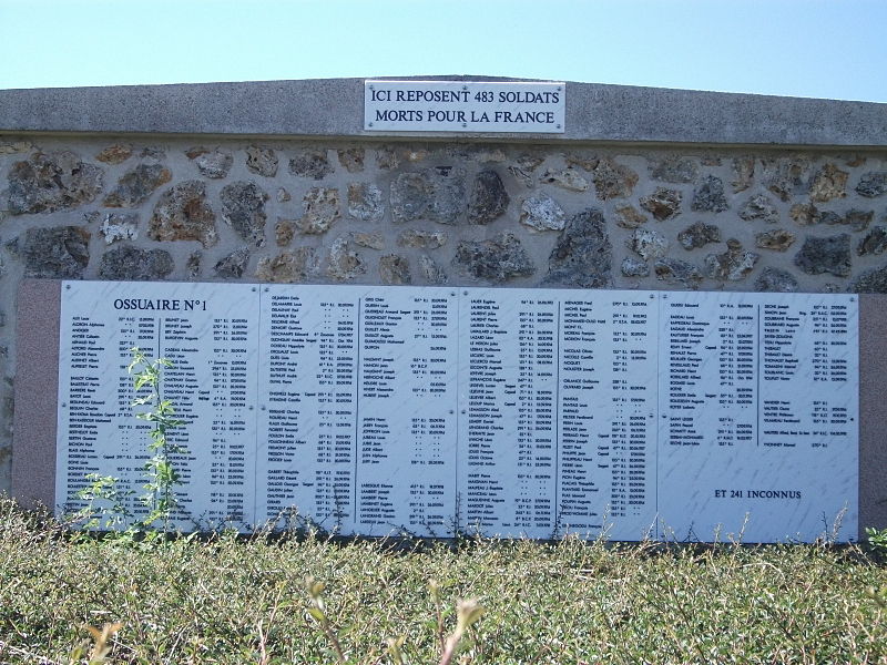
The Sillery National Necropolis is a French military cemetery of the First World War, located in the commune of Sillery, in the suburbs of Reims.
Coordinates: 49°11'41"N, 4°8'18"E
Address
Sillery
ContactAdd
Social media
Add
Day trips
Nécropole nationale de Sillery – popular in the area (distance from the attraction)
Nearby attractions include: Abbey of Saint-Remi, Fort de la Pompelle, Faux de Verzy, Monument to the Heroes of the Black Army.


