Enceinte romaine, Vienne

Gallery (1)
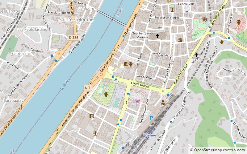
Map
Map
Facts and practical information
The Roman enclosure of Vienne, located in Vienne, was one of the longest enclosures in Gaul: more than 7.250 km long, enclosing an area of 250 hectares.
Coordinates: 45°31'20"N, 4°52'15"E
Address
Vienne
ContactAdd
Social media
Add
Getting there by public transportation
Public transportation stops near this location
- Bus
- Train
 Bus
Bus
- Calculate routeJardin de Ville 1 min walk
- Calculate routeChamp de Mars 2 min walk
- Calculate routeSaint-Maurice 4 min walk
- Calculate routeVienne 6 min walk
Day trips
Enceinte romaine – popular in the area (distance from the attraction)
Nearby attractions include: Temple of Augustus and Livia, Vienne Cathedral, Saint Peter's church, Saint-Romain-en-Gal.


Frequently Asked Questions (FAQ)
Which popular attractions are close to Enceinte romaine?
Nearby attractions include Saint Peter's church, Vienne (2 min walk), Roman Catholic Archdiocese of Vienne, Vienne (5 min walk), Vienne Cathedral, Vienne (5 min walk), Chapelle Saint-Théodore, Vienne (6 min walk).
How to get to Enceinte romaine by public transport?
The nearest stations to Enceinte romaine:
Bus
Train
Bus
- Jardin de Ville • Lines: 1, 3, 4, 5, 6, 7 (1 min walk)
- Champ de Mars • Lines: 2, 3 (2 min walk)
Train
- Vienne (6 min walk)