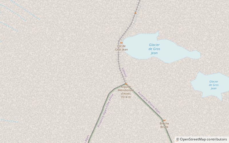
Aiguilles d'Arves
Map

Map

Facts and practical information
The Aiguilles d’Arves is a mountain in the Arves massif in the French Alps. The mountain, comprising three separate peaks, is the highest point of the massif, and is located in the department of Savoie. ()
Alternative names: First ascent: 1878Elevation: 11529 ftProminence: 4688 ftCoordinates: 45°7'23"N, 6°20'4"E
Location
Auvergne-Rhône-Alpes
ContactAdd
Social media
Add
Day trips
Aiguilles d'Arves – popular in the area (distance from the attraction)
Nearby attractions include: Grand Galibier, Refuge des Aiguilles d'Arves.


