Refuge de Presset
#10254 among destinations in France


Facts and practical information
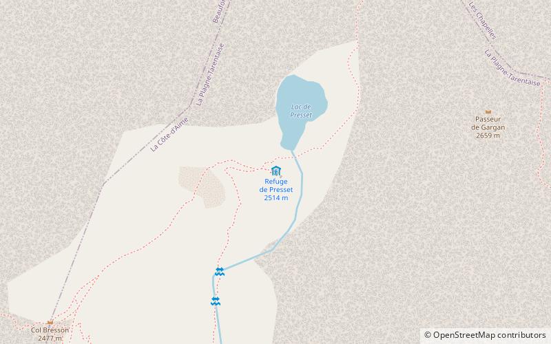
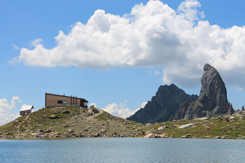
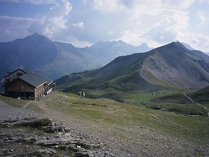
Refuge de Presset is a refuge in the Alps. ()
Auvergne-Rhône-AlpesFrance
Refuge de Presset – popular in the area (distance from the attraction)
Nearby attractions include: Tignes – Val d'Isère, Pierra Menta Mountain, Aiguille du Grand Fond, Cormet de Roselend.
 Winter sport, Ski area
Tignes – Val d'Isère, Bourg-Saint-Maurice
142 min walk • Tignes – Val d'Isère is the combined ski resort area of Val d'Isère and Tignes in the Tarentaise Valley, Savoie in the French Alps. Formerly known as Espace Killy, in honour of the spectacularly successful skier Jean-Claude Killy who was raised here.There are claimed to be 300...
 Nature, Natural attraction, Mountain
Pierra Menta Mountain
25 min walk • Pierra Menta is a mountain of Savoie, France. It lies in the Beaufortain Massif range. It has an elevation of 2,714 metres above sea level.
 Nature, Natural attraction, Mountain
Aiguille du Grand Fond
33 min walk • Aiguille du Grand Fond is a mountain of Savoie, France. It lies in the Beaufortain Massif range. It has an elevation of 2,920 metres above sea level.
 Nature, Natural attraction, Mountain pass
Cormet de Roselend
86 min walk • Cormet de Roselend is a high mountain pass in the Alps in the department of Savoie in France. It connects Beaufort in the Beaufortain valley and Bourg-Saint-Maurice in the Tarentaise Valley.
 Nature, Natural attraction, Mountain
Roignais
32 min walk • Roignais is a mountain of Savoie, France. It lies in the Beaufortain Massif range. It has an elevation of 2,995 metres above sea level.
 Nature, Natural attraction, Mountain
Mont Coin
61 min walk • Mont Coin is a mountain of Savoie, France. It lies in the Beaufortain Masif range. It has an elevation of 2,539 metres above sea level.
 Nature, Natural attraction, Mountain
Crête des Gittes
125 min walk • Crête des Gittes is a mountain of Savoie, France. It lies in the Beaufortain Massif range. It has an elevation of 2,538 metres above sea level.
 Alpine hut, Hiking
Refuge du col de la Croix du Bonhomme
146 min walk • Refuge du col de la Croix du Bonhomme is a refuge in the Alps.
 45°36'1"N • 6°45'51"E
Coureurs de Rivières, Bourg-Saint-Maurice
150 min walk • Rafting, Rafting company
 Locality
Landry
165 min walk • Surrounded by breathtaking mountain landscapes, Landry is a dream destination for outdoor enthusiasts. The nearby Vanoise National Park provides endless opportunities for hiking, mountain biking, and wildlife spotting. In the winter months, the area transforms into a...
 Locality
Bellentre
164 min walk • Bellentre is a former commune in the Savoie department in the region of Auvergne-Rhône-Alpes in south-eastern France. On 1 January 2016, it was merged into the new commune of La Plagne-Tarentaise.
