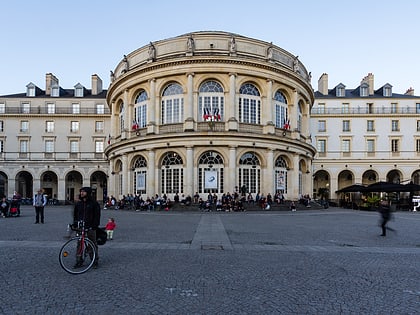
Halles Martenot, Rennes
Map
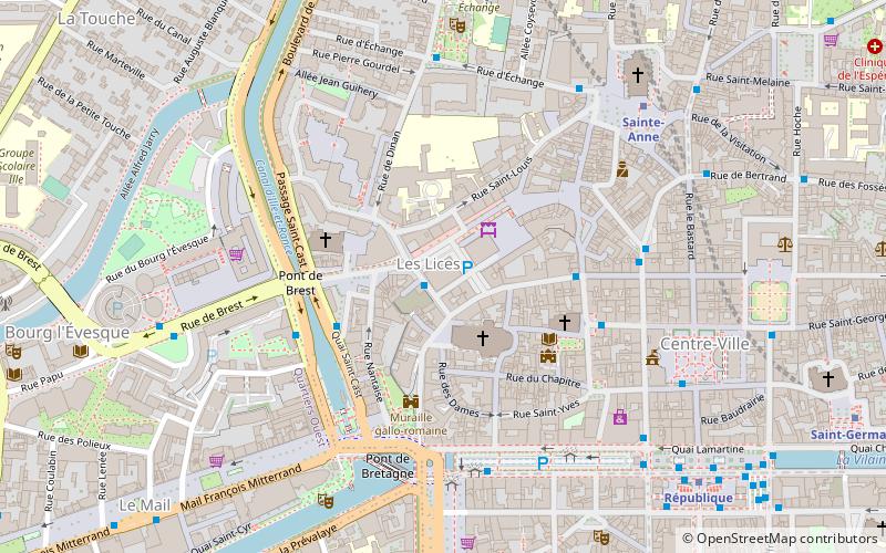
Map

Facts and practical information
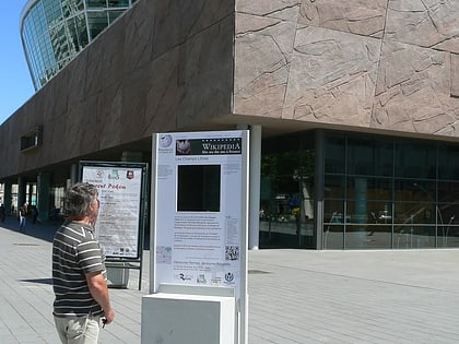
The Halles Martenot is a set of two halls located on Place des Lices in Rennes. They were built by the architect Jean-Baptiste Martenot in 1870 and renovated in 1988.
Coordinates: 48°6'45"N, 1°41'3"W
Address
Place des LicesCentre Rennes (Cathédrale)Rennes 35000
ContactAdd
Social media
Add
Day trips
Halles Martenot – popular in the area (distance from the attraction)
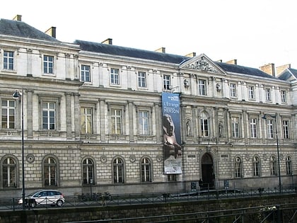
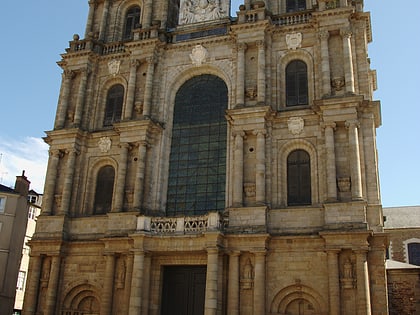
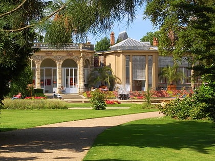
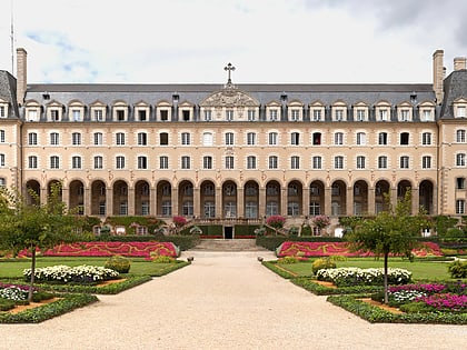
Nearby attractions include: Museum of Fine Arts of Rennes, Rennes Cathedral, Parc du Thabor, Palais Saint-Georges.
Frequently Asked Questions (FAQ)
Which popular attractions are close to Halles Martenot?
Nearby attractions include Porte Mordelaise, Rennes (2 min walk), Rennes Cathedral, Rennes (2 min walk), Tour Duchesne, Rennes (3 min walk), Saint Stephen's Church, Rennes (3 min walk).
How to get to Halles Martenot by public transport?
The nearest stations to Halles Martenot:
Bus
Metro
Train
Bus
- Les Lices • Lines: C2 (4 min walk)
- Pont de Bretagne • Lines: 12b, 153ex, 154ex, 155ex, 1a, 1b, 2, 53, 54, 55, 56 (5 min walk)
Metro
- Sainte-Anne • Lines: a (6 min walk)
- République • Lines: a (8 min walk)
Train
- Pontchaillou (14 min walk)
- Rennes (21 min walk)

