Pique d'Endron

Gallery (1)
Map
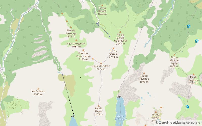
Map
Facts and practical information
The Pique d'Endron is a French pyrenean summit which lies in the Ariège in Région Occitanie. ()
Location
Occitanie
ContactAdd
Social media
Add
Day trips
The Pique d'Endron is a French pyrenean summit which lies in the Ariège in Région Occitanie. ()
Occitanie
Where to next? Visit ![]() Occitanie region page or discover the top tourist attractions in France.
Occitanie region page or discover the top tourist attractions in France.


