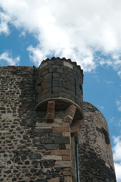
Château fort de Chalus

Gallery (2)
Map
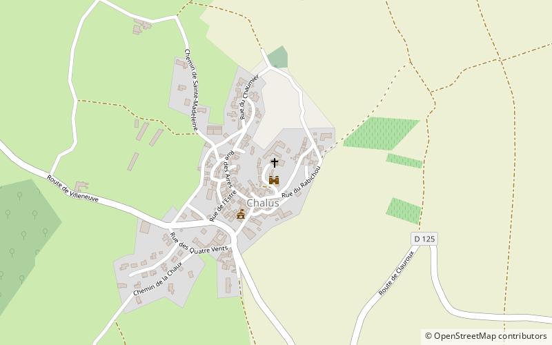
Map
Gallery
Facts and practical information
The castle of Chalus is a ruined castle located in the department of Puy-de-Dôme in Auvergne, on the commune of Chalus; it dominates the Lembronnais.
Coordinates: 45°27'59"N, 3°12'37"E
Location
Auvergne-Rhône-Alpes
ContactAdd
Social media
Add
Day trips


