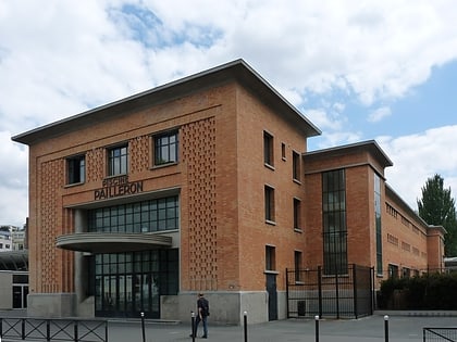
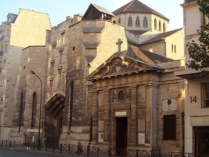
Quartier de La Chapelle, Paris
Map
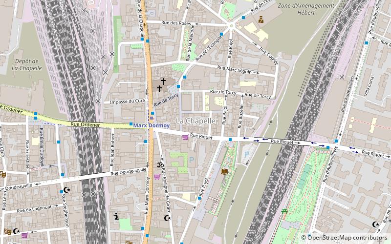
Map

Facts and practical information
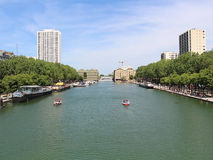
The Quartier de La Chapelle is a neighborhood of Paris, in the eastern part of the 18th arrondissement. It was originally the village of La Chapelle on the outskirts of Paris and a commune in its own right, separated from the commune of Paris by the wall of the Farmers-General. However, as part of the city's major 19th-century expansion, the former village was absorbed by Paris in 1860. ()
Address
Buttes-Montmartre (Chapelle)Paris
ContactAdd
Social media
Add
Day trips
Quartier de La Chapelle – popular in the area (distance from the attraction)
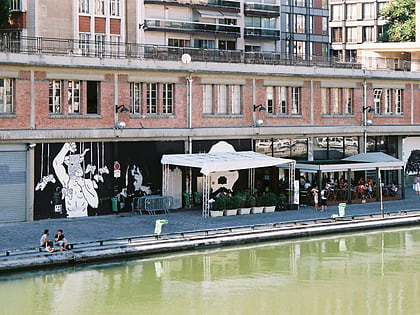
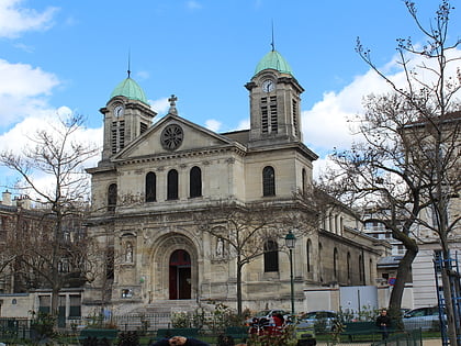
Nearby attractions include: Sacré-Cœur, Bassin de la Villette, Point Éphémère, Église Saint-Jacques Saint-Christophe.
Frequently Asked Questions (FAQ)
Which popular attractions are close to Quartier de La Chapelle?
Nearby attractions include Sainte-Jeanne-d'Arc, Paris (3 min walk), Chapel, Paris (5 min walk), Centquatre-Paris, Paris (10 min walk), Saint-Bernard de la Chapelle, Paris (12 min walk).
How to get to Quartier de La Chapelle by public transport?
The nearest stations to Quartier de La Chapelle:
Bus
Metro
Tram
Train
Bus
- Pajol - Riquet • Lines: 519 (2 min walk)
- Place de Torcy • Lines: 35, 60 (3 min walk)
Metro
- Marx Dormoy • Lines: 12 (3 min walk)
- La Chapelle • Lines: 2 (11 min walk)
Tram
- Colette Besson • Lines: T3b (15 min walk)
- Porte de la Chapelle • Lines: T3b (15 min walk)
Train
- Gare du Nord (17 min walk)
- Magenta (18 min walk)
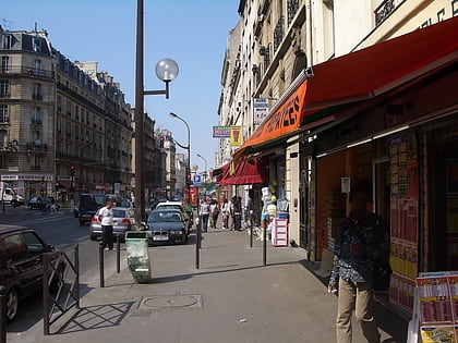
 Metro
Metro
