Complexe Sportif des Plantes, Ormes

Gallery (1)
Map
Map
Facts and practical information
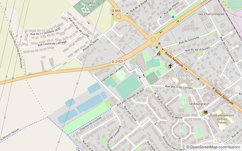
Complexe Sportif des Plantes (address: Chemin des Plantes) is a place located in Ormes (Centre-Loire Valley region) and belongs to the category of sightseeing.
It is situated at an altitude of 374 feet, and its geographical coordinates are 47°56'30"N latitude and 1°48'50"E longitude.
Among other places and attractions worth visiting in the area are: Saint-Loup Church, Ingré (church, 42 min walk), Aushopping Saint-Jean, Orléans (shopping, 87 min walk), Saint-Jean-de-la-Ruelle, Orléans (area, 90 min walk).
Coordinates: 47°56'30"N, 1°48'50"E
Address
Chemin des PlantesOrmes
ContactAdd
Social media
Add
Day trips