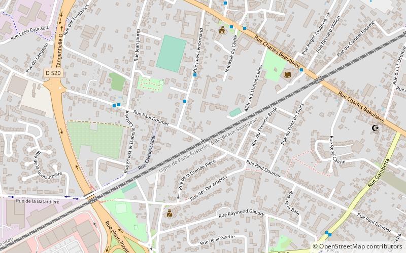
Saint-Jean-de-la-Ruelle, Orléans

Gallery (1)
Map
Map
Facts and practical information
Saint-Jean-de-la-Ruelle is a commune in the Loiret department in the administrative region of Centre-Val de Loire, France. ()
Address
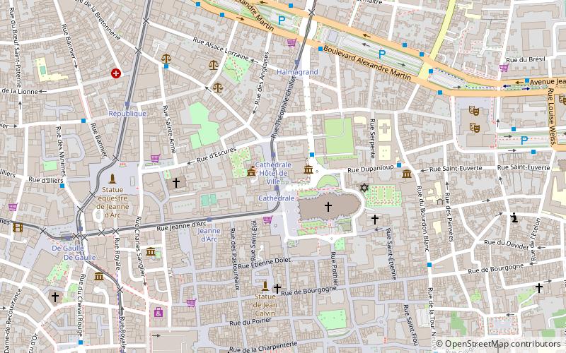
Orléans
ContactAdd
Social media
Add
Getting there by public transportation
Public transportation stops near this location
- Bus
- Tram
 Bus
Bus
- Calculate routeFauvette 3 min walk
- Calculate routeDoumer 5 min walk
- Calculate routeAnna Marly 6 min walk
- Calculate routeMairie de St Jean de la Ruelle 6 min walk
- Calculate routeRol Tanguy 14 min walk
- Calculate routeMartin Luther King 17 min walk
- Calculate routePont de l'Europe 20 min walk
- Calculate routePorte Dunoise 21 min walk
Day trips


Frequently Asked Questions (FAQ)
How to get to Saint-Jean-de-la-Ruelle by public transport?
The nearest stations to Saint-Jean-de-la-Ruelle:
Bus
Tram
Bus
- Fauvette • Lines: 4 (3 min walk)
- Doumer • Lines: 4 (5 min walk)
Tram
- Rol Tanguy • Lines: B (14 min walk)
- Martin Luther King • Lines: B (17 min walk)