Ecomuseum, Brech
Map

Map

Facts and practical information
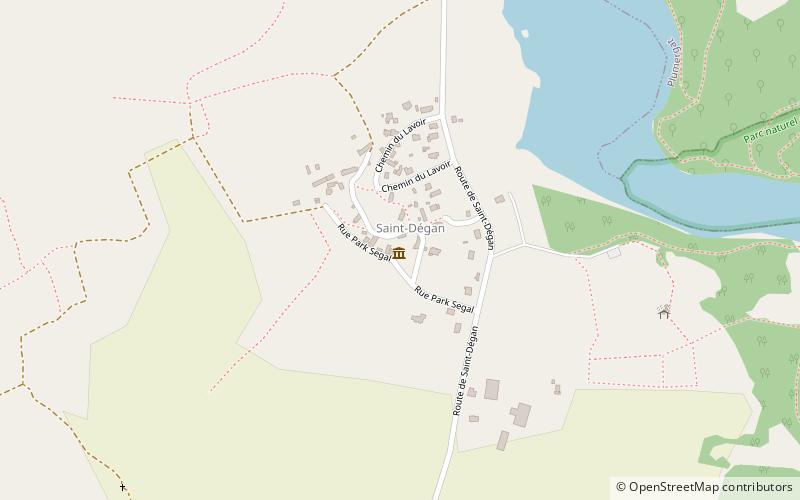
Ecomuseum (address: Rue Park Segal) is a place located in Brech (Brittany region) and belongs to the category of specialty museum, museum.
It is situated at an altitude of 135 feet, and its geographical coordinates are 47°42'33"N latitude and 2°59'37"W longitude.
Among other places and attractions worth visiting in the area are: Chapelle Saint-Jacques (church, 19 min walk), War Memorial (memorial, 21 min walk), Chapelle expiatoire du Champ-des-Martyrs (church, 41 min walk).
Local name: EcomuséeCoordinates: 47°42'33"N, 2°59'37"W
Day trips
Ecomuseum – popular in the area (distance from the attraction)
Nearby attractions include: Le P'tit Délire, Saint-Goustan, Le Vieux Pont Suspendu, Église Saint-Thuriau.
Frequently Asked Questions (FAQ)
Which popular attractions are close to Ecomuseum?
Nearby attractions include Chapelle Saint-Jacques, Brech (19 min walk), War Memorial, Brech (21 min walk).


