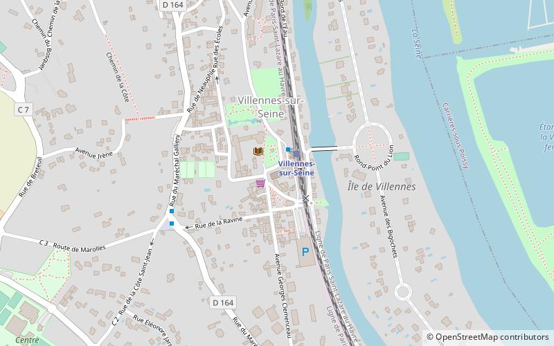
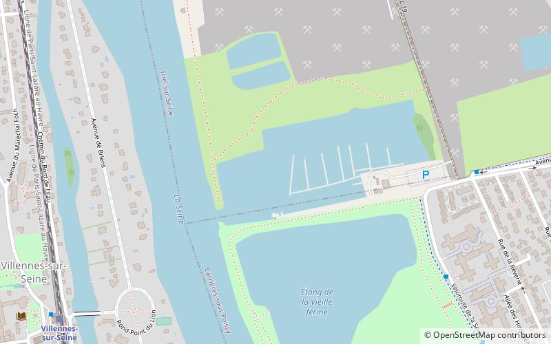
Base nautique de Villennes, Villennes-sur-Seine
Map
Facts and practical information
Base nautique de Villennes is a place located in Villennes-sur-Seine (Île-de-France region) and belongs to the category of sailing, marina.
It is situated at an altitude of 69 feet, and its geographical coordinates are 48°55'52"N latitude and 2°0'27"E longitude.
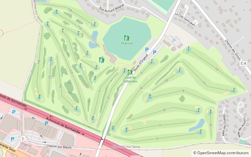
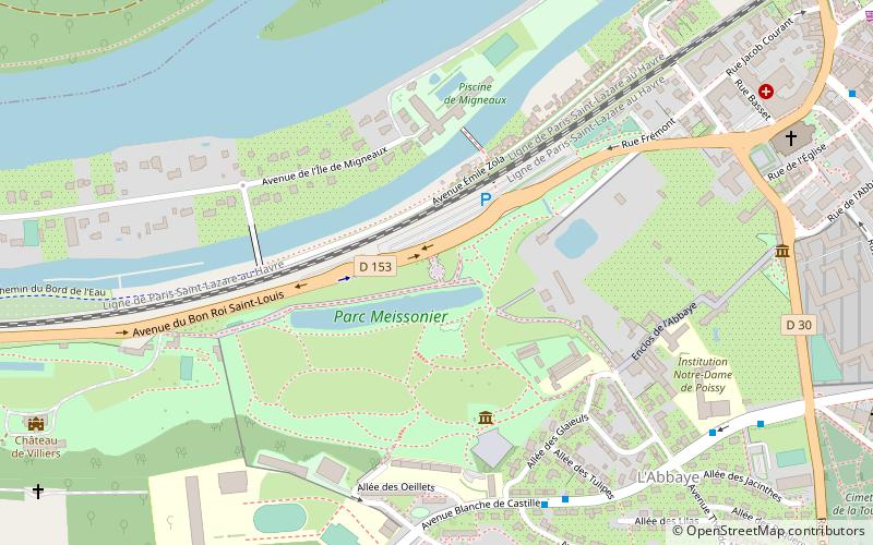
Among other places and attractions worth visiting in the area are: St. Nicholas Church (church, 18 min walk), Port-Saint-Louis (sailing, 20 min walk), Golf de Villennes (outdoor activities, 22 min walk).
Coordinates: 48°55'52"N, 2°0'27"E
Address
Villennes-sur-Seine
ContactAdd
Social media
Add
Day trips

Frequently Asked Questions (FAQ)
Which popular attractions are close to Base nautique de Villennes?
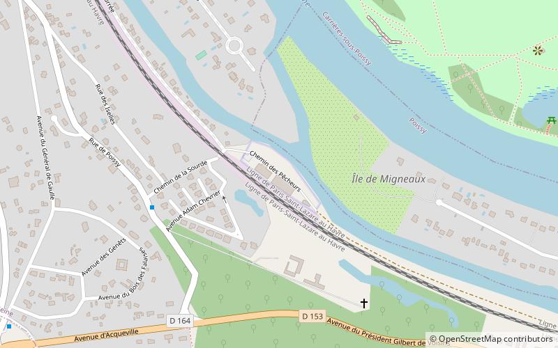
Nearby attractions include St. Nicholas Church, Villennes-sur-Seine (18 min walk), Port-Saint-Louis, Villennes-sur-Seine (20 min walk), Pont de l'Île de Migneaux, Poissy (24 min walk).