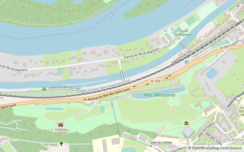
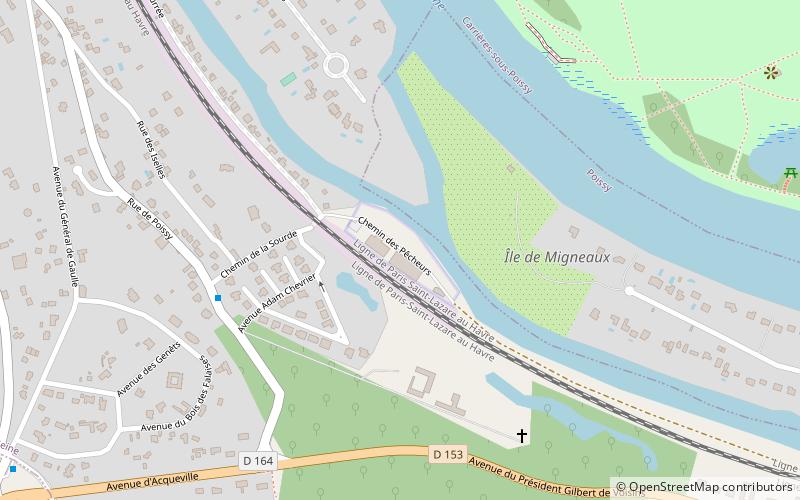
Pont de l'Île de Migneaux, Poissy
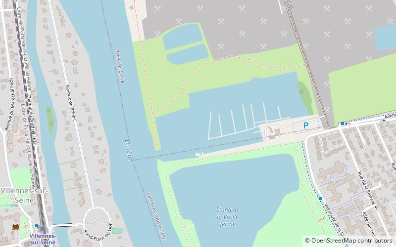
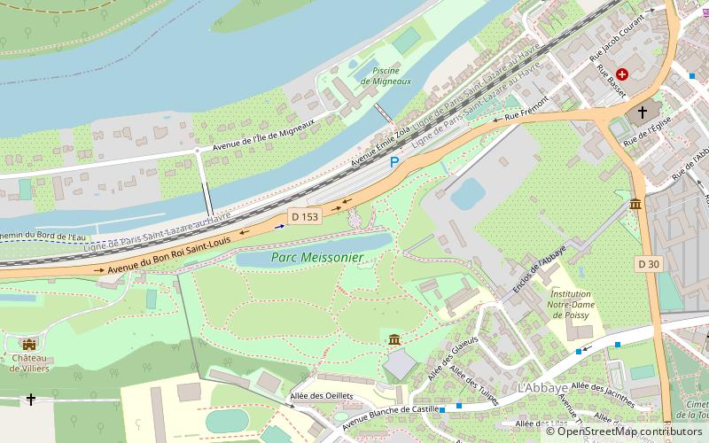
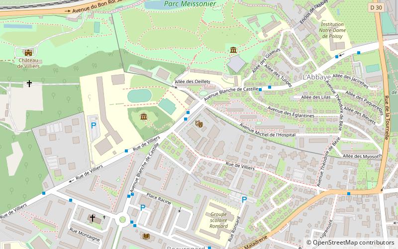
Map
Facts and practical information
Pont de l'Île de Migneaux is a place located in Poissy (Île-de-France region) and belongs to the category of bridge.
It is situated at an altitude of 69 feet, and its geographical coordinates are 48°55'43"N latitude and 2°1'39"E longitude.
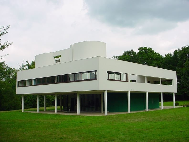
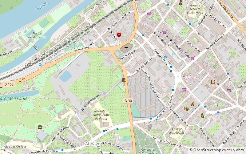
Among other places and attractions worth visiting in the area are: Parc Meissonier (park, 5 min walk), Villa Savoye (architecture, 8 min walk), Salle Blanche de Castille (concerts and shows, 9 min walk).
Coordinates: 48°55'43"N, 2°1'39"E
Address
Poissy
ContactAdd
Social media
Add
Day trips


Frequently Asked Questions (FAQ)
Which popular attractions are close to Pont de l'Île de Migneaux?
Nearby attractions include Parc Meissonier, Poissy (5 min walk), Villa Savoye, Poissy (8 min walk), Salle Blanche de Castille, Poissy (9 min walk), Musée du Jouet, Poissy (12 min walk).