Ailefroide, Écrins National Park
Map

Map

Facts and practical information
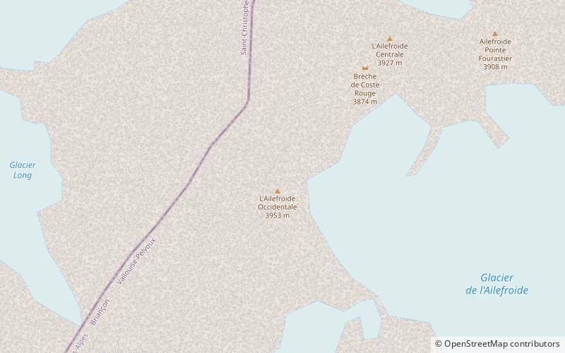
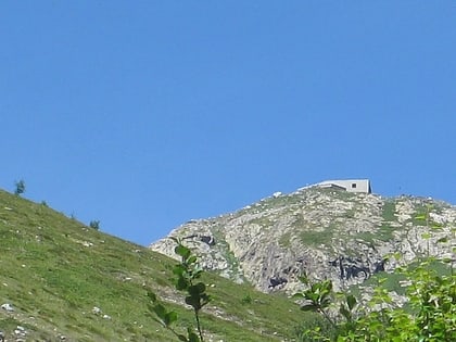
The Ailefroide is a mountain in the Massif des Écrins in the French Alps, and is the third highest peak in the Dauphiné Alps after the Barre des Écrins and La Meije. It lies at the south-western end of the Mont Pelvoux–Pic Sans Nom–Ailefroide ridge. ()
Local name: L'Ailefroide First ascent: 1870Elevation: 12972 ftProminence: 2500 ftCoordinates: 44°53'6"N, 6°21'22"E
Address
Écrins National Park
ContactAdd
Social media
Add
Day trips
Ailefroide – popular in the area (distance from the attraction)
Nearby attractions include: Pic de Neige Cordier, Roche Faurio, Les Bans, Glacier Blanc.


