Meije, Écrins National Park
Map

Gallery

Facts and practical information
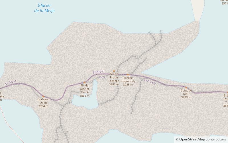
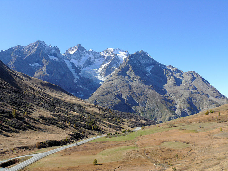
La Meije is a mountain in the Massif des Écrins range, located at the border of the Hautes-Alpes and Isère départements. It overlooks the nearby village of La Grave, a mountaineering centre and ski resort, well known for its off-piste and extreme skiing possibilities, and also dominates the view west of the Col du Lautaret. It is the second highest mountain of the Écrins after the Barre des Écrins. ()
Local name: La Meije First ascent: 1877Elevation: 13071 ftProminence: 2694 ftCoordinates: 45°0'18"N, 6°18'30"E
Address
Écrins National Park
ContactAdd
Social media
Add
Day trips
Meije – popular in the area (distance from the attraction)
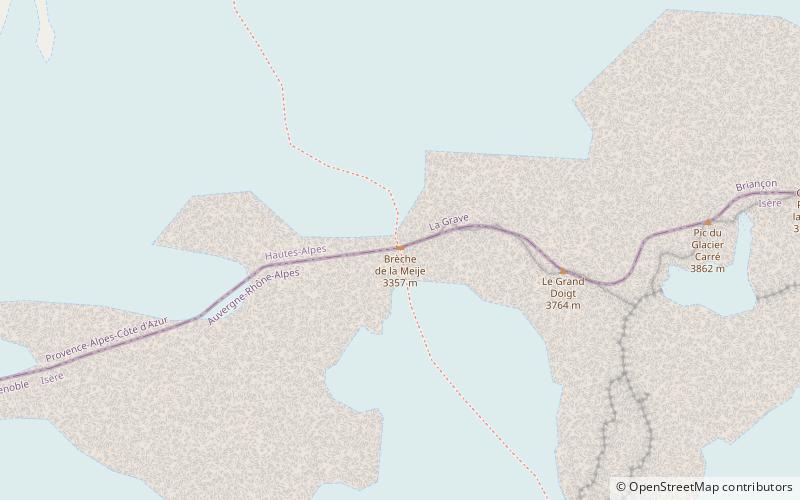
Nearby attractions include: Refuge de l'Aigle, Le Râteau, Pic Gaspard, Brèche de la Meije.
Frequently Asked Questions (FAQ)
Which popular attractions are close to Meije?
Nearby attractions include Brèche de la Meije, Écrins National Park (12 min walk), Refuge du Promontoire, Écrins National Park (13 min walk), Refuge de l'Aigle, Écrins National Park (24 min walk).


