Le Râteau, Écrins National Park
#12 among attractions in Écrins National Park


Facts and practical information
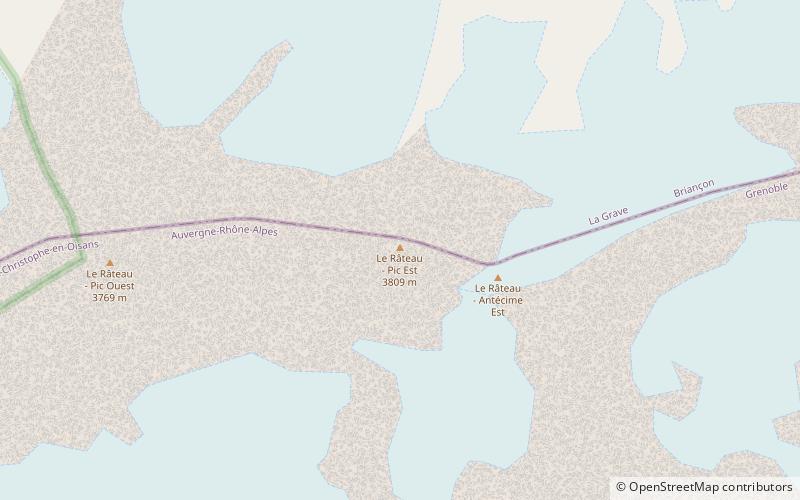
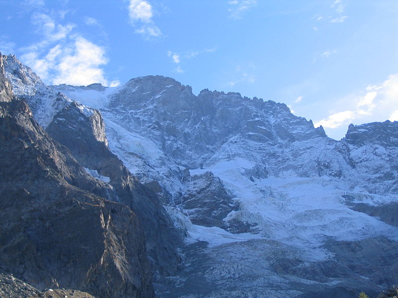
Le Râteau is a mountain in the French Alps. Located in the Massif des Écrins, the mountain is 3,809 metres tall. ()
Écrins National Park France
Le Râteau – popular in the area (distance from the attraction)
Nearby attractions include: Meije, Aiguille Dibona, Grande Ruine, Pic de Neige Cordier.
 Nature, Natural attraction, Mountain
Meije, Écrins National Park
33 min walk • La Meije is a mountain in the Massif des Écrins range, located at the border of the Hautes-Alpes and Isère départements. It overlooks the nearby village of La Grave, a mountaineering centre and ski resort, well known for its off-piste and extreme skiing possibilities, and also dominates the view west of the Col du Lautaret.
 Nature, Natural attraction, Mountain
Aiguille Dibona
83 min walk • The Aiguille Dibona, formerly called Pain de Sucre du Soreiller, is a mountain in the Massif des Écrins in the French Alps notable for its "astonishing triangular granite...
 Nature, Natural attraction, Mountain
Grande Ruine, Écrins National Park
83 min walk • La Grande Ruine is a mountain in Hautes-Alpes, France. It belongs to the Massif des Écrins in the Dauphiné Alps and is located in the heart of the wilderness of the Écrins National Park roughly halfway between its illustrious neighbours Barre des Écrins and Meije.
 Nature, Natural attraction, Mountain
Pic de Neige Cordier, Écrins National Park
154 min walk • Pic de Neige Cordier is a mountain in the Massif des Écrins range, located in the Hautes-Alpes département of France. The mountain is named after the French alpinist Henri Cordier.
 Nature, Natural attraction, Mountain
Roche Faurio, Écrins National Park
140 min walk • Roche Faurio is a mountain of the Massif des Écrins in the Dauphiné Alps in Isère, France. It lies in front of the mighty north face of the Barre des Écrins and towers over the Glacier Blanc. The mountain lies inside the Écrins National Park.
 Hiking, Alpine hut
Refuge de l'Aigle, Écrins National Park
55 min walk • Refuge de l'Aigle is a refuge in the Alps in France. It opened in 1910 and was renovated during the summer 2014, and therefore closed between September 2013 and August 2014.
 Nature, Natural attraction, Mountain
Aiguille du Plat de la Selle
99 min walk • The Aiguille du Plat de la Selle, 3,596 m, is a mountain of the Massif des Écrins in the Dauphiné Alps in south-eastern France. Ascents of the mountain are via Saint-Christophe-en-Oisans or the Soreiller hut.
 Nature, Natural attraction, Mountain
Pic Gaspard, Écrins National Park
60 min walk • Pic Gaspard is a mountain in the French Alps, one of the tallest in the Massif des Écrins. It was named in honor of the celebrated L'Oisans guide Pierre Gaspard, conqueror of La Meije on 16 August 1877 in the company of Emmanuel Boileau de Castelnau.
 Nature, Natural attraction, Mountain
Tête du Rouget
85 min walk • Tête du Rouget is a mountain in the French Alps, located in the Massif des Écrins. The mountain has a summit elevation of 3,418 m.
 Nature, Natural attraction, Natural feature
Dauphiné Alps, Écrins National Park
74 min walk • The Dauphiné Alps are a group of mountain ranges in southeastern France, west of the main chain of the Alps. Mountain ranges within the Dauphiné Alps include the Massif des Écrins, Belledonne, the Taillefer range and the mountains of Matheysine.
 Hiking, Alpine hut, Vernacular architecture
Refuge des Écrins, Écrins National Park
156 min walk • Refuge des Écrins is a refuge in the Alps, in the French department of Hautes-Alpes. It stands at 3170 metres high, above the Glacier Blanc. Access usually is from the village of Ailefroide in the French Alps and a 2-hour hike further than the Refuge du Glacier Blanc.
