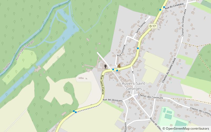
St. George's Church, Auvers-Saint-Georges

Gallery (1)
Map
Map
Facts and practical information
St. George's Church is a place located in Auvers-Saint-Georges (Île-de-France region) and belongs to the category of church.
It is situated at an altitude of 207 feet, and its geographical coordinates are 48°29'33"N latitude and 2°13'3"E longitude.
Among other places and attractions worth visiting in the area are: Town Hall, Étréchy (city hall, 32 min walk), Château de Chamarande, Chamarande (forts and castles, 37 min walk), Château de Mesnil-Voisin, Lardy (forts and castles, 85 min walk).
Coordinates: 48°29'33"N, 2°13'3"E
Address
Auvers-Saint-Georges
ContactAdd
Social media
Add
Day trips


