Square Antonin, Nîmes
Map
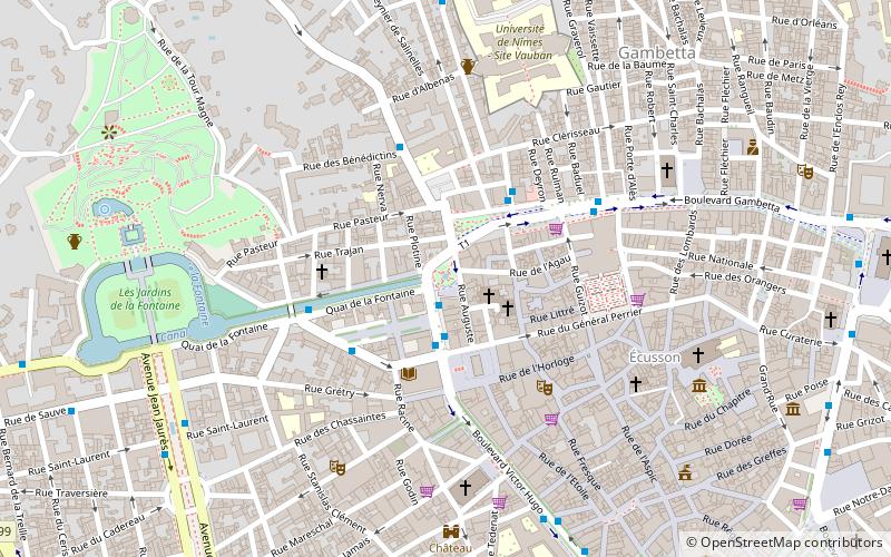
Map

Facts and practical information
Square Antonin is a square in the city of Nîmes, in the Gard department. It is located northwest of the Écusson nîmois, the historic city center, at the junction of Boulevard Alphonse-Daudet, Quai de la Fontaine, Square de la Bouquerie, Rue de l'agau and Rue Auguste.
Elevation: 180 ft a.s.l.Coordinates: 43°50'22"N, 4°21'20"E
Day trips
Square Antonin – popular in the area (distance from the attraction)
Nearby attractions include: Musée de la Romanité, Amphitheater, Maison Carrée, Carré d'Art.
Frequently Asked Questions (FAQ)
Which popular attractions are close to Square Antonin?
Nearby attractions include Maison Carrée, Nîmes (3 min walk), Carré d'Art, Nîmes (3 min walk), St. Paul's Church, Nîmes (6 min walk), Castellum, Nîmes (6 min walk).
How to get to Square Antonin by public transport?
The nearest stations to Square Antonin:
Bus
Train
Bus
- Maison Carrée • Lines: 10, 16, 4, 7, T1 (2 min walk)
- Bouquerie • Lines: 7, 71, 75, 86 (3 min walk)
Train
- Nîmes (19 min walk)


