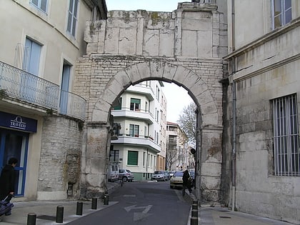
Porte de France, Nîmes
Map
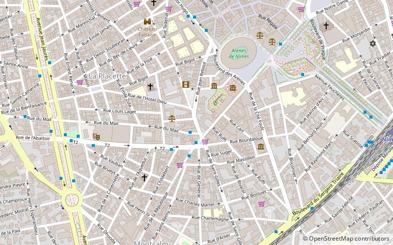
Map

Facts and practical information
The Gate of France is a Roman monument built in the first century BC in Nîmes, in the Gard region.
Coordinates: 43°49'58"N, 4°21'28"E
Address
Quartier Administrations (Placette)Nîmes
ContactAdd
Social media
Add
Day trips
Porte de France – popular in the area (distance from the attraction)
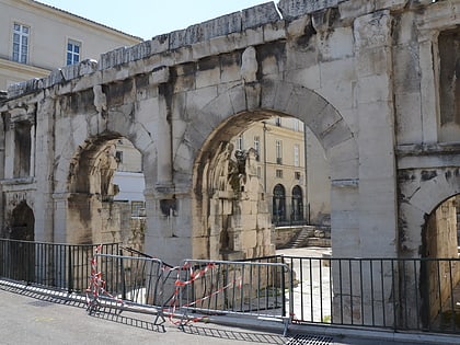
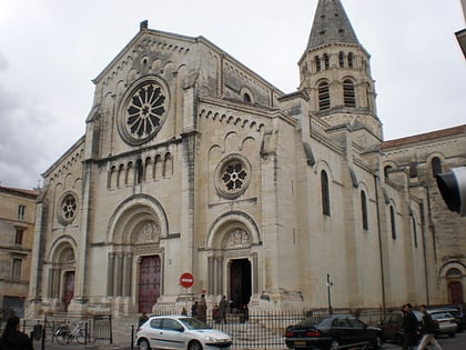
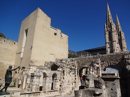
Nearby attractions include: Musée de la Romanité, Amphitheater, Maison Carrée, Carré d'Art.
Frequently Asked Questions (FAQ)
Which popular attractions are close to Porte de France?
Nearby attractions include Musée de la Romanité, Nîmes (3 min walk), Museum of Fine Arts, Nîmes (4 min walk), Amphitheater, Nîmes (5 min walk), Château Fadaise, Nîmes (7 min walk).
How to get to Porte de France by public transport?
The nearest stations to Porte de France:
Bus
Train
Bus
- Musée Romanité • Lines: 2, 3, 5, T1 (2 min walk)
- Arènes • Lines: 10, 4, 7, 9, T1 (6 min walk)
Train
- Nîmes (11 min walk)
