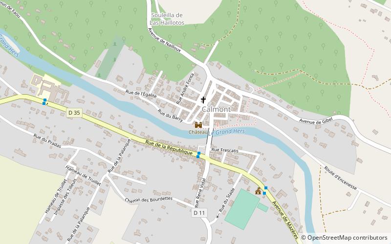
Château
Map

Map

Facts and practical information
The Château de Calmont is a ruined 14th century castle in the commune of Calmont in the Haute-Garonne département of France. ()
Coordinates: 43°17'12"N, 1°37'57"E
Location
Occitanie
ContactAdd
Social media
Add
Day trips
Château – popular in the area (distance from the attraction)
Nearby attractions include: Town Hall, Ancien château, War Memorial, Saverdun.


