Ancien château, Montgeard

Gallery (1)
Map
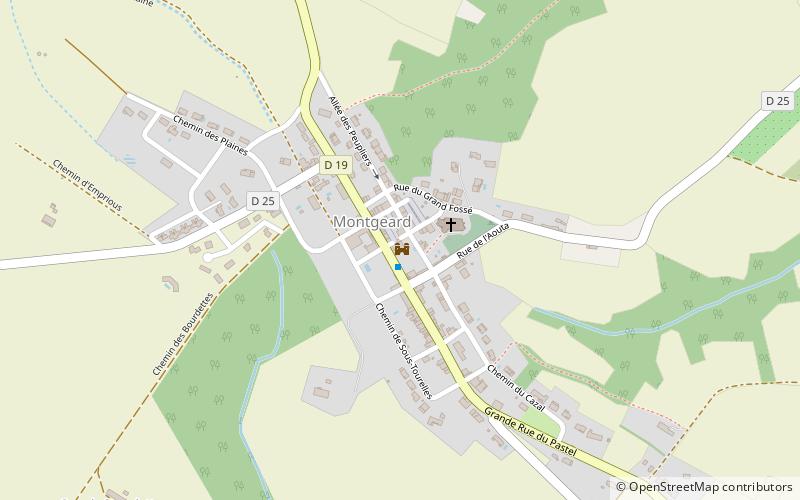
Map
Facts and practical information
Ancien château is a place located in Montgeard (Occitanie region) and belongs to the category of forts and castles.
It is situated at an altitude of 955 feet, and its geographical coordinates are 43°20'19"N latitude and 1°38'2"E longitude.
Among other places and attractions worth visiting in the area are: War Memorial (memorial, 1 min walk), Town Hall, Nailloux (city hall, 35 min walk), Château (forts and castles, 92 min walk).
Coordinates: 43°20'19"N, 1°38'2"E
Address
Montgeard
ContactAdd
Social media
Add
Day trips