Manoir de Cantepie
Map

Map

Facts and practical information
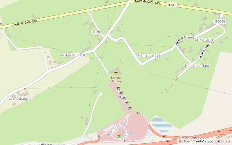
The Cantepie manor is a former manor farm, dating from the early sixteenth century, which stands on the town of Veys in the department of Manche, Normandy region.
The manor is partially registered as a historical monument by order of August 26, 1988.
Coordinates: 49°18'26"N, 1°9'43"W
Location
Normandy
ContactAdd
Social media
Add
Day trips
Manoir de Cantepie – popular in the area (distance from the attraction)
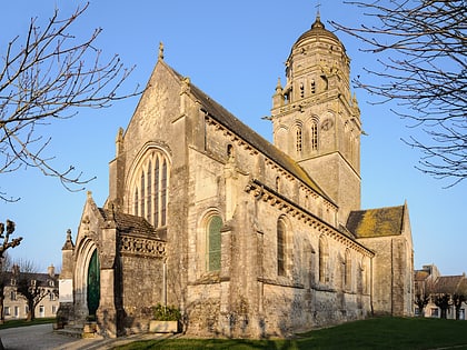
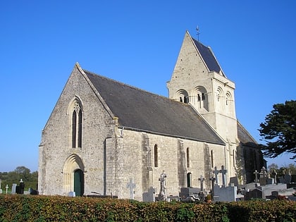
Nearby attractions include: Maisy battery, Church of Our Lady, Church of Our Lady, Church of St. Peter St. Paul.


