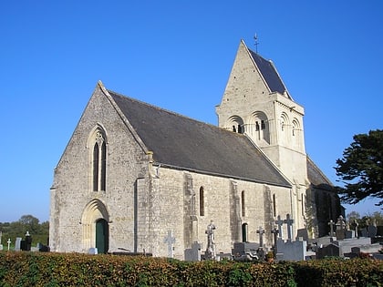
Saint-Hilaire Church
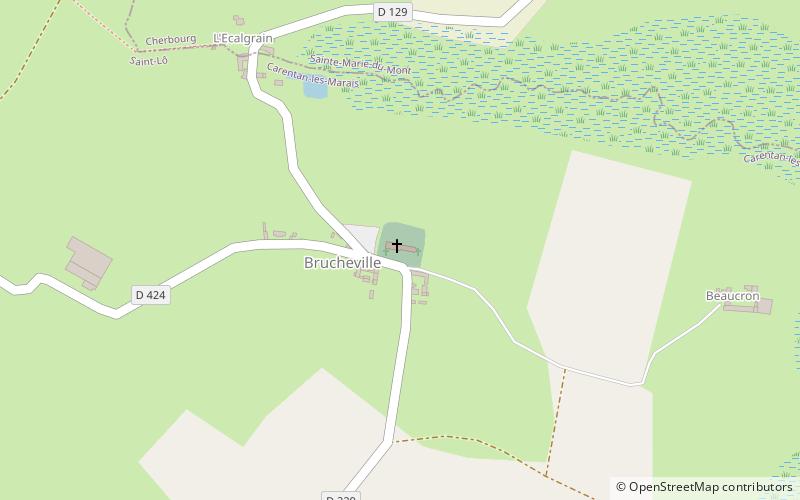
Map
Map

Facts and practical information
The Saint-Hilaire church is a Catholic church that stands on the delegated commune of Brucheville within the new commune of Carentan-les-Marais in the Manche department, in the Normandy region.
As a historical monument, the middle part of the church tower dating from the 12th century was classified by order of June 15, 1954, and the rest of the church was registered by order of June 15, 1954.
Coordinates: 49°22'26"N, 1°12'17"W
Location
Rue de l'ÉgliseBrucheville 50480 Normandy
ContactAdd
Social media
Add
Day trips
Saint-Hilaire Church – popular in the area (distance from the attraction)
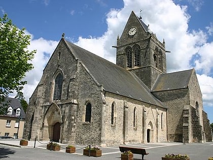
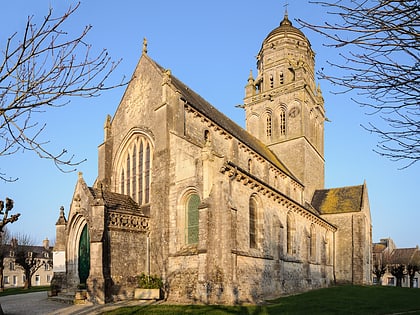
Nearby attractions include: Airborne Museum, Church of Our Lady of the Assumption, Church of Our Lady, Church of Our Lady.
