Rhine Bridge, Strasbourg
Map

Gallery

Facts and practical information
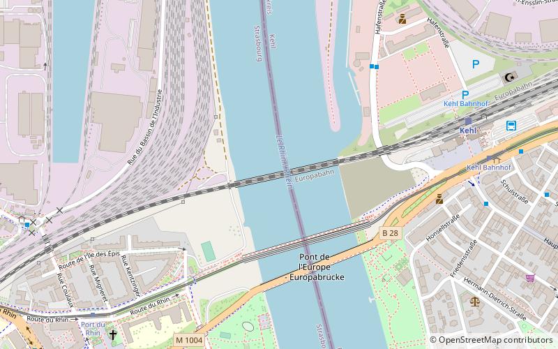
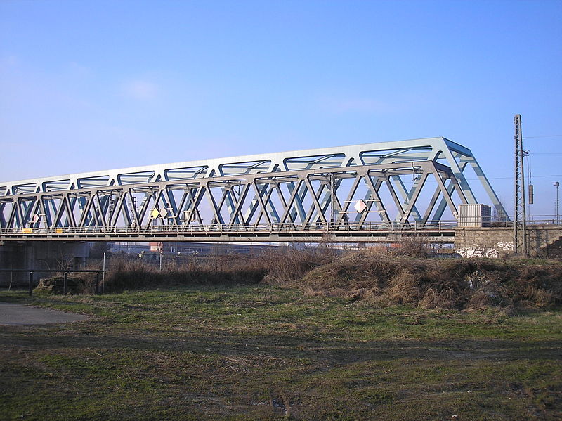
The first railway bridge at Kehl across the Rhine was opened in May 1861. Since then the bridge has been partially or fully destroyed more than once. ()
Local name: Pont ferroviaire de Kehl Opened: 2010 (16 years ago)Length: 782 ftWidth: 22 ftHeight: 26 ftCoordinates: 48°34'32"N, 7°48'3"E
Address
Port du Rhin (Port du Rhin Nord)Strasbourg
ContactAdd
Social media
Add
Day trips
Rhine Bridge – popular in the area (distance from the attraction)
Nearby attractions include: St Maurice's Church, Strasbourg Opera House, Jardin botanique de l'Université de Strasbourg, National Theatre of Strasbourg.
Frequently Asked Questions (FAQ)
How to get to Rhine Bridge by public transport?
The nearest stations to Rhine Bridge:
Tram
Bus
Tram
- Port du Rhin • Lines: D (9 min walk)
- Starcoop • Lines: D (18 min walk)
Bus
- Port du Rhin • Lines: 2 (9 min walk)
- Coopérative • Lines: 2 (10 min walk)


