Pont de l'Iroise

Gallery (1)
Map
Map
Facts and practical information
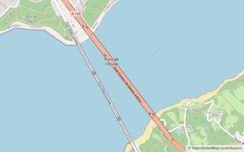
The Pont de l'Iroise is a cable-stayed bridge in Finistère, Brittany, France, which spans the Élorn river where it enters the roadstead of Brest. It carries route nationale 165, the road between Brest and Quimper, and connects Le Relecq-Kerhuon to the north with Plougastel-Daoulas to the south. The bridge is named after the Iroise Sea, into which the roadstead of Brest opens. ()
Day trips


