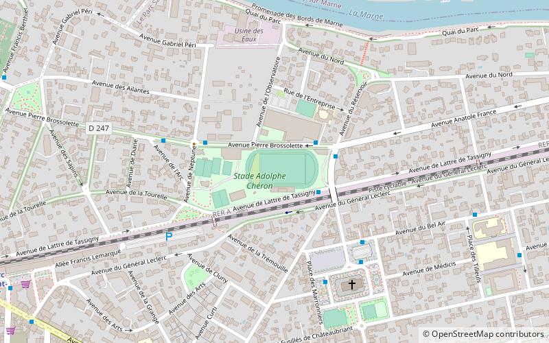
Stade Adolphe-Chéron, Paris

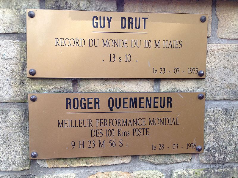
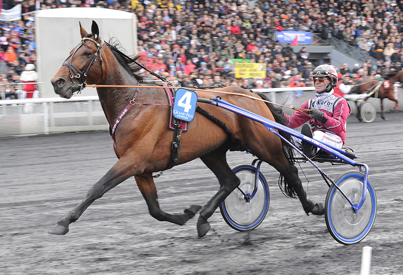
Gallery (2)
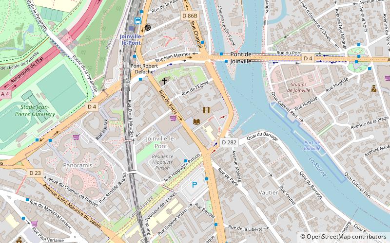
Map
Map
Gallery
Facts and practical information
The Stade Adolphe-Chéron is the main stadium for football and athletics in the city of Saint-Maur-des-Fossés, France. ()
Address
Saint-Maur-des-Fossés (Le Parc Saint-Maur)Paris
ContactAdd
Social media
Add
Getting there by public transportation
Public transportation stops near this location
- Bus
- Train
 Bus
Bus
- Calculate routeCentre sportif Pierre Brossolette 2 min walk
- Calculate routeCentre sportif Pierre-Brossolette 2 min walk
- Calculate routeAnatole France - Pierre Brossolette 2 min walk
- Calculate routeNeptune 4 min walk
- Calculate routeLe Parc de Saint-Maur 11 min walk
- Calculate routeChampigny 18 min walk
- Calculate routeSaint-Maur Créteil 26 min walk
- Calculate routeLa Varenne - Chennevières 32 min walk
Maps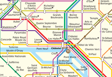 Metro
Metro
MetroDay trips


Frequently Asked Questions (FAQ)
How to get to Stade Adolphe-Chéron by public transport?
The nearest stations to Stade Adolphe-Chéron:
Bus
Train
Bus
- Centre sportif Pierre Brossolette • Lines: La Boucle (retour) (2 min walk)
- Centre sportif Pierre-Brossolette • Lines: La Boucle (aller) (2 min walk)
Train
- Le Parc de Saint-Maur (11 min walk)
- Champigny (18 min walk)