Rossberg

Gallery (1)
Map
Map
Facts and practical information
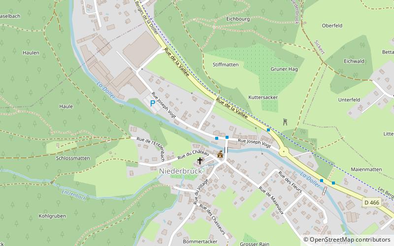
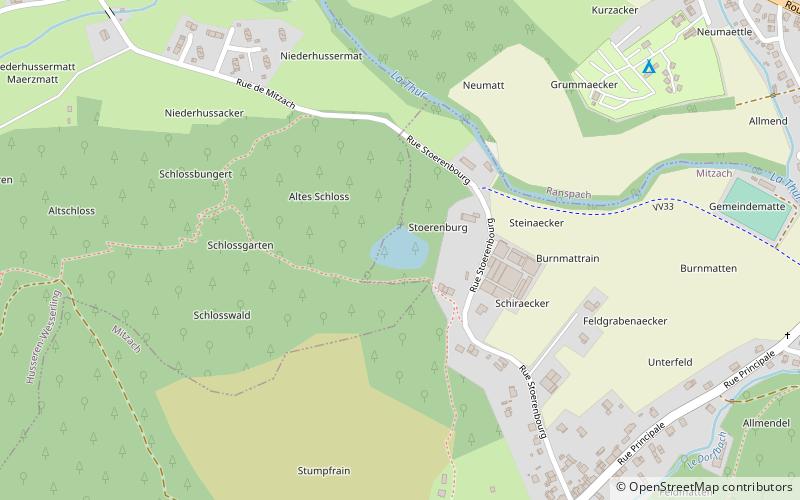
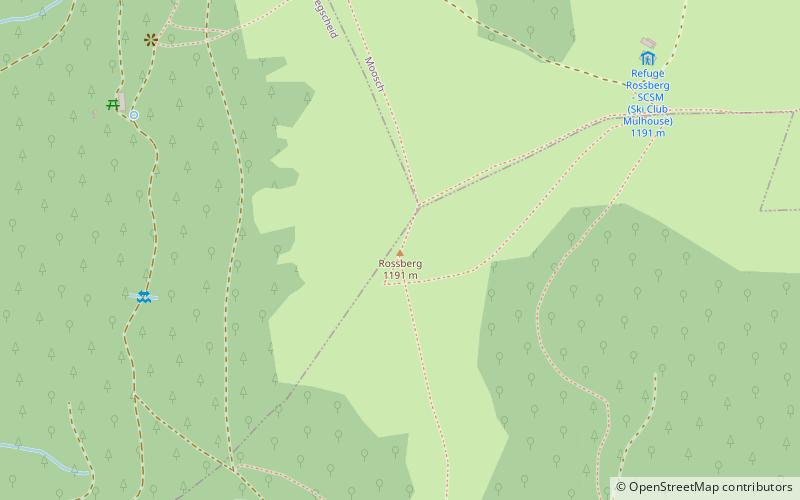
The Rossberg is both a peak culminating at 1,191 m altitude and a small, relatively well individualized massif, at the southeastern end of the Vosges massif, between Thann and Masevaux in the Haut-Rhin.
Coordinates: 47°49'13"N, 7°0'32"E
Location
Grand Est
ContactAdd
Social media
Add
Day trips