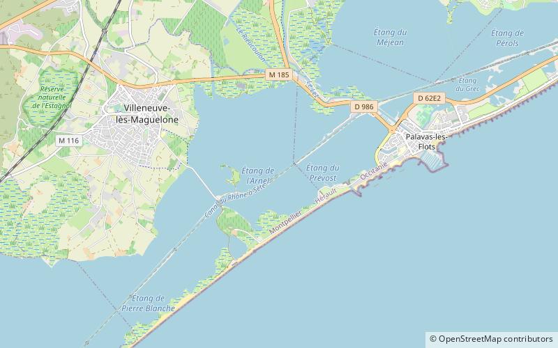
Canal des Étangs

Map
Facts and practical information
The Canal des Étangs was a canal in southern France. It is now part of the Canal du Rhône à Sète along with the Canal de Beaucaire. It was created by the state of Languedoc. The project consisted of enlarging ancient medieval channels through and between the shallow lakes and salt marshes, connecting Sète and Aigues-Mortes. ()
Coordinates: 43°31'19"N, 3°53'42"E
Location
Occitanie
ContactAdd
Social media
Add
Day trips
Canal des Étangs – popular in the area (distance from the attraction)
Nearby attractions include: GGL Stadium, Maguelone Cathedral, Le Phare, Château de la Mogère.


