Canal de Lens

Map
Facts and practical information
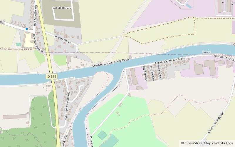
The Canal de Lens is a canal in northern France. It connects Lens to the Canal de la Deûle west of Oignies. It is 8 km long with no locks. ()
Coordinates: 50°28'8"N, 2°56'48"E
Location
Hauts-de-France
ContactAdd
Social media
Add
Day trips
Canal de Lens – popular in the area (distance from the attraction)
Nearby attractions include: CMCF Oignies, St. Martin's Church, Cimetière militaire allemand de Carvin, Mairie de Phalempin.


