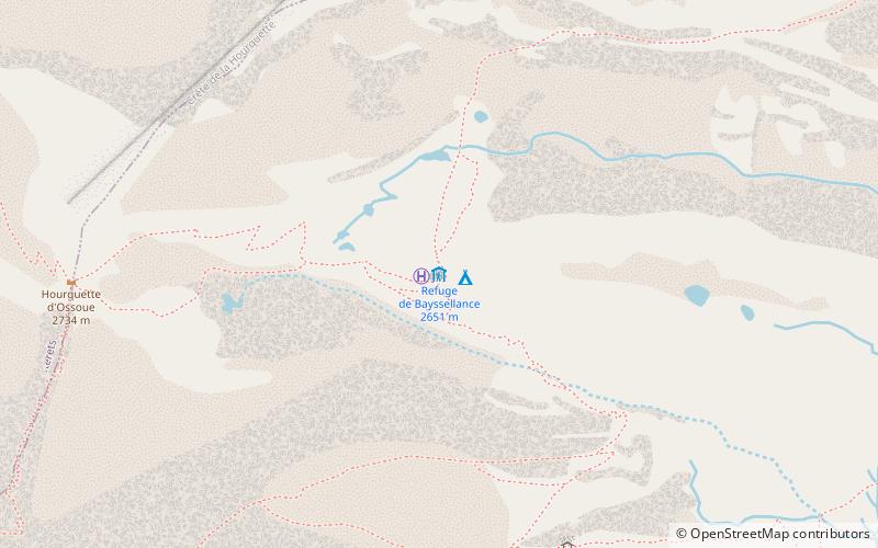
Refuge de Bayssellance

Gallery (1)
Map
Map
Facts and practical information
The refuge Bayssellance is a mountain refuge located at 2 651 m altitude between the valleys of Gavarnie and Ossoue, administratively dependent on the municipality of Gavarnie-Gèdre in the department of Hautes-Pyrénées in the Occitanie region.
Coordinates: 42°46'46"N, 0°7'27"W
Day trips


