Pic de Montferrat, Pyrénées National Park

Gallery (1)
Map
Map
Facts and practical information
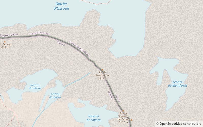
The Pic de Montferrat, culminating at 3,129 m, is a crest summit on the Franco-Spanish border, in the massif du Vignemale in the Pyrenees. ()
Address
Pyrénées National Park
ContactAdd
Social media
Add
Day trips


