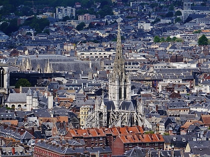
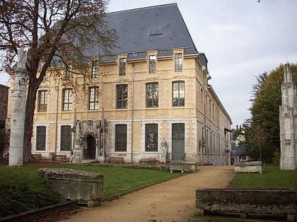
Église Saint-Pierre-du-Châtel, Rouen
Map
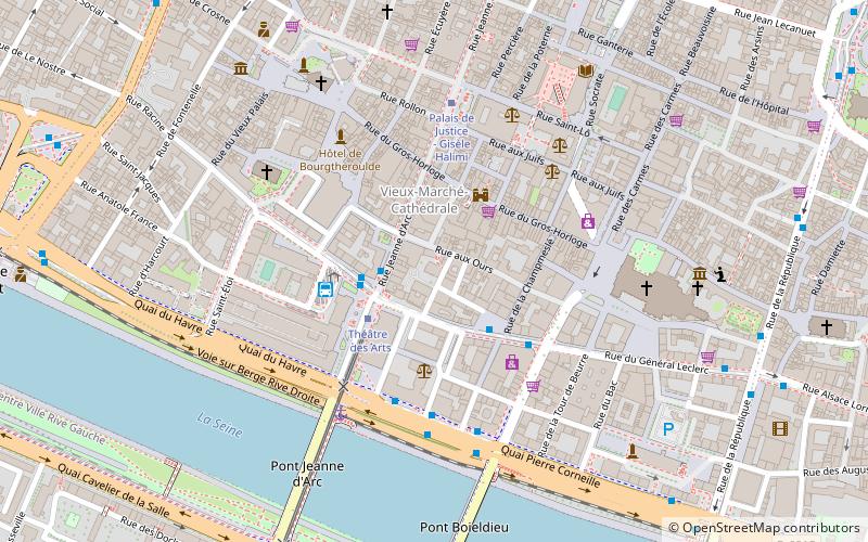
Map

Facts and practical information
The Saint-Pierre-du-Châtel church is a former Catholic church, now in ruins, whose remains stand in the French commune of Rouen in the Seine-Maritime department, in the Normandy region. It was very badly damaged in 1944.
The church was registered as a historical monument by order of July 13, 1926.
Coordinates: 49°26'26"N, 1°5'26"E
Address
Rue Camille Saint-SaënsCentre Rive Droite Ouest (Grand Pont Général Leclerc)Rouen
ContactAdd
Social media
Add
Day trips
Église Saint-Pierre-du-Châtel – popular in the area (distance from the attraction)
Nearby attractions include: Museum of Fine Arts, Rouen Cathedral, Saint-Ouen Abbey, Gros Horloge.
Frequently Asked Questions (FAQ)
Which popular attractions are close to Église Saint-Pierre-du-Châtel?
Nearby attractions include Gros Horloge, Rouen (2 min walk), Rouen Opera House, Rouen (2 min walk), Rouen Cathedral, Rouen (5 min walk), Church of St Joan of Arc, Rouen (6 min walk).
How to get to Église Saint-Pierre-du-Châtel by public transport?
The nearest stations to Église Saint-Pierre-du-Châtel:
Tram
Bus
Train
Tram
- Théâtre des Arts • Lines: M (2 min walk)
- Palais de Justice • Lines: M (4 min walk)
Bus
- Théâtre des Arts • Lines: 8, F3, F5, T1, T2, T3 (3 min walk)
- Cathédrale • Lines: T1, T2, T3 (3 min walk)
Train
- Rouen Rive-Droite (16 min walk)


