Croix en pierre du 16e siècle, Roz-Landrieux
Map
![Croix en pierre du 16e siècle location map](https://tzmedia.b-cdn.net/media/images/static-maps/fr/48_5435_-1_81535.jpg)
Map
![Croix en pierre du 16e siècle location map](https://tzmedia.b-cdn.net/media/images/static-maps/fr/48_5435_-1_81535.jpg)
Facts and practical information
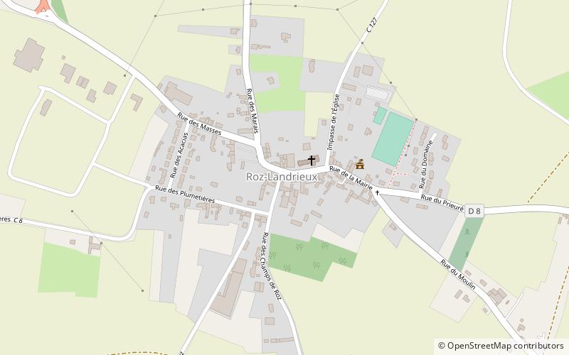
The Roz-Landrieux cemetery cross is a monumental cross located in front of the church of Roz-Landrieux, in the French department of Ille-et-Vilaine, Brittany region.
Coordinates: 48°32'37"N, 1°48'55"W
Address
Roz-Landrieux
ContactAdd
Social media
Add
Day trips
Croix en pierre du 16e siècle – popular in the area (distance from the attraction)
Nearby attractions include: Dol Cathedral, Menhir de Champ-Dolent, Baguer-Pican, St. Peter's Church.