St. Anne's Church, Nantes
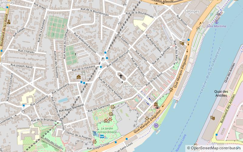
Map

Map

Facts and practical information
The Sainte-Anne church is a Catholic church of Nantes in Loire-Atlantique.
Coordinates: 47°12'11"N, 1°34'47"W
Address
4 Rue Mounet SullyChantenay-Bellevue-Sainte Anne (Salorges - Sainte Anne)Nantes 44100
Contact
+33 2 40 46 30 47
Social media
Add
Day trips
St. Anne's Church – popular in the area (distance from the attraction)
Nearby attractions include: Passage Pommeraye, Musée Dobrée, Jules Verne Museum, Église Saint-Similien.
Frequently Asked Questions (FAQ)
Which popular attractions are close to St. Anne's Church?
Nearby attractions include Planetarium of Nantes, Nantes (4 min walk), Square Maurice Schwob, Nantes (4 min walk), Jules Verne Museum, Nantes (4 min walk), HAB Galerie, Nantes (9 min walk).
How to get to St. Anne's Church by public transport?
The nearest stations to St. Anne's Church:
Bus
Tram
Ferry
Train
Bus
- Lechat • Lines: C1 (3 min walk)
- Lusançay • Lines: C1 (4 min walk)
Tram
- Du Chaffault • Lines: 1 (9 min walk)
- Gare Maritime • Lines: 1 (11 min walk)
Ferry
- Gare Maritime • Lines: N1 (10 min walk)
- Hangar à Bananes • Lines: N2, N2 Hangar à Bananes → Bas-Chante (11 min walk)
Train
- Chantenay (21 min walk)


